Incholme Area, Incholme Postcode & Map in Incholme
Incholme Area, Incholme Postcode & Map in Incholme, Waitaki District, New Zealand
Incholme, Waitaki District, New Zealand
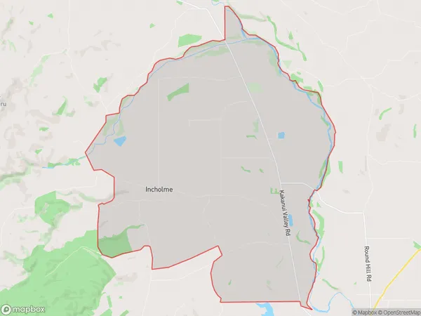
Incholme Area (estimated)
47.8 square kilometersIncholme Population (estimated)
89 people live in Incholme, Otago, NZIncholme Suburb Area Map (Polygon)
Incholme Introduction
Incholme is a small rural community in the Otago region of New Zealand, located about 15 kilometers southeast of Oamaru. It is known for its historic stone buildings, including the Incholme Church, which was built in 1875. The community has a population of around 100 people and is surrounded by farmland and scenic countryside. Incholme is also home to a popular golf course, which is a popular destination for locals and visitors alike.Region
Major City
Suburb Name
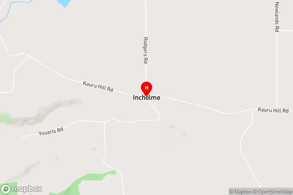
IncholmeIncholme Area Map (Street)
Local Authority
Waitaki DistrictFull Address
Incholme, Waitaki District, New ZealandAddress Type
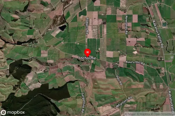
Locality in Town OamaruIncholme Suburb Map (Satellite)
Country
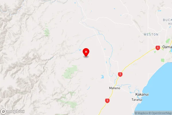
Main Region in AU
OtagoIncholme Region Map
Coordinates
-45.1176136,170.7695405 (latitude/longitude)Distances
The distance from Incholme, Oamaru, Waitaki District to NZ Top 10 Cities