Ilam Area, Ilam Postcode(8041) & Map in Ilam
Ilam Area, Ilam Postcode(8041) & Map in Ilam, Christchurch City, New Zealand
Ilam, Christchurch City, New Zealand
Ilam Area (estimated)
4.6 square kilometersIlam Population (estimated)
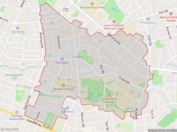
10496 people live in Ilam, Christchurch, NZIlam Suburb Area Map (Polygon)
Ilam Introduction
Ilam is a suburb of Christchurch, New Zealand, located in the city's east. It is known for its diverse population and vibrant community, with a mix of traditional Maori and European cultures. The suburb has a number of parks and recreational facilities, including the Ilam Park and Recreation Centre and the Ilam Pool. It is also home to a number of educational institutions, including the University of Canterbury and the Christchurch Polytechnic Institute of Technology.Region
Major City
Suburb Name
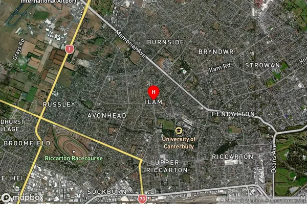
IlamIlam Area Map (Street)

Local Authority
Christchurch CityFull Address
Ilam, Christchurch City, New ZealandAddress Type
Suburb in City ChristchurchIlam Suburb Map (Satellite)
Country
Main Region in AU
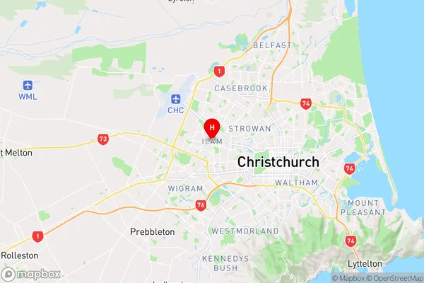
CanterburyIlam Region Map
Coordinates
-43.5165611,172.5720494 (latitude/longitude)Distances
The distance from Ilam, Christchurch, Christchurch City to NZ Top 10 Cities