Ikawai Area, Ikawai Postcode(7924) & Map in Ikawai
Ikawai Area, Ikawai Postcode(7924) & Map in Ikawai, Waimate District, New Zealand
Ikawai, Waimate District, New Zealand
Ikawai Postcodes
Ikawai Area (estimated)
220.2 square kilometersIkawai Population (estimated)
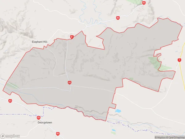
332 people live in Ikawai, Canterbury, NZIkawai Suburb Area Map (Polygon)
Ikawai Introduction
Ikawai, Waimate, Canterbury, New Zealand, is a small rural town located in the Waimate District of the Canterbury Region. It is known for its picturesque rural setting, with rolling hills, lush green fields, and a peaceful atmosphere. The town has a population of around 1,000 people and is surrounded by farmland and native bush. It is a popular destination for tourists who enjoy outdoor activities such as hiking, fishing, and hunting.Region
Major City
Suburb Name
IkawaiOther Name(s)
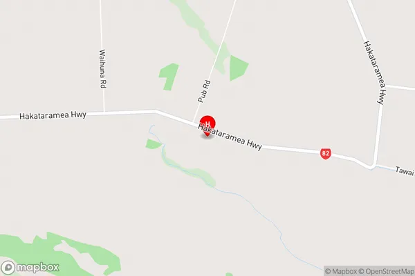
Broad Gully, Dog Kennel, Green Hills, Gum Tree Flat, WaikakahiIkawai Area Map (Street)
Local Authority
Waimate DistrictFull Address
Ikawai, Waimate District, New ZealandAddress Type
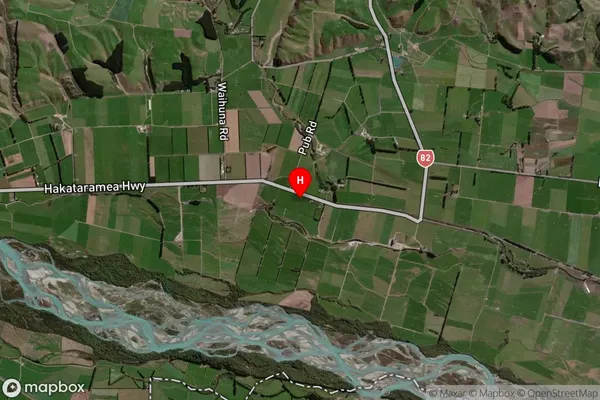
Locality in Town WaimateIkawai Suburb Map (Satellite)
Country
Main Region in AU
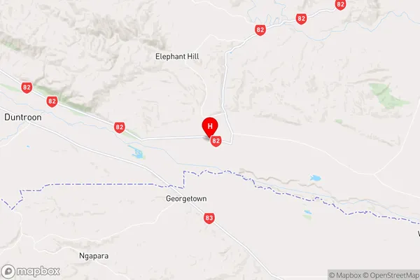
CanterburyIkawai Region Map
Coordinates
-44.8697664,170.8668145 (latitude/longitude)Distances
The distance from Ikawai, Waimate, Waimate District to NZ Top 10 Cities