Mercury Islands Area, Mercury Islands Postcode(3500) & Map in Mercury Islands
Mercury Islands Area, Mercury Islands Postcode(3500) & Map in Mercury Islands, Thames-Coromandel District, New Zealand
Mercury Islands, Thames-Coromandel District, New Zealand
Mercury Islands Postcodes
Mercury Islands Area (estimated)
-1.2 square kilometersMercury Islands Population (estimated)
0 people live in Mercury Islands, Waikato, NZMercury Islands Suburb Area Map (Polygon)
Not available for nowMercury Islands Introduction
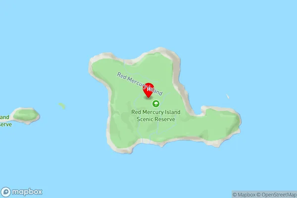
Mercury Islands are a group of islands off the coast of Waikato, New Zealand. They are known for their scenic beauty, including rugged cliffs, sandy beaches, and clear waters. The islands are a popular destination for fishing, kayaking, and hiking, and are home to a variety of wildlife, including birds, seals, and dolphins. The islands are also a significant archaeological site, with evidence of human settlement dating back thousands of years.Region
Suburb Name
Mercury IslandsMercury Islands Area Map (Street)
Local Authority
Thames-Coromandel DistrictFull Address
Mercury Islands, Thames-Coromandel District, New ZealandAddress Type
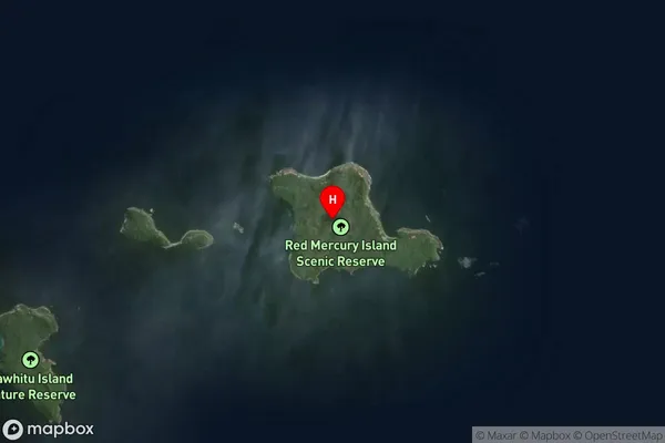
IslandMercury Islands Suburb Map (Satellite)
Country
Main Region in AU
WaikatoMercury Islands Region Map
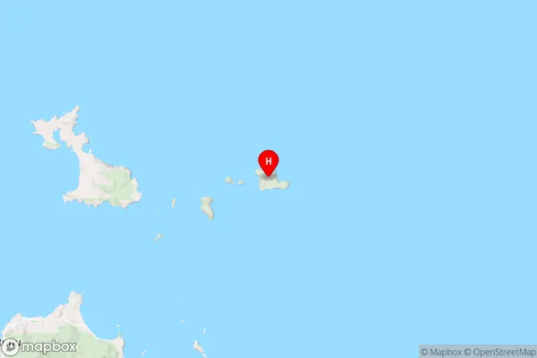
Coordinates
-36.62302,175.933059342492 (latitude/longitude)Distances
The distance from Mercury Islands, , Thames-Coromandel District to NZ Top 10 Cities