Maori Rocks Area, Maori Rocks Postcode(1148) & Map in Maori Rocks
Maori Rocks Area, Maori Rocks Postcode(1148) & Map in Maori Rocks, Auckland, New Zealand
Maori Rocks, Auckland, New Zealand
Maori Rocks Postcodes
Maori Rocks Area (estimated)
-1.2 square kilometersMaori Rocks Population (estimated)
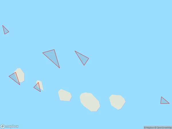
0 people live in Maori Rocks, Aotea Great Barrier, NZMaori Rocks Suburb Area Map (Polygon)
Maori Rocks Introduction
Maori Rocks is a small, isolated rock formation located off the coast of Auckland, New Zealand. It is known for its unique geological features and cultural significance to the local Maori people. The rocks are believed to have been formed over millions of years by volcanic activity and are covered in rich vegetation. They have been used for religious ceremonies, storytelling, and as a place of refuge. Maori Rocks is a popular tourist attraction and is accessible by boat or walking trail.Region
Major City
Suburb Name
Maori Rocks (Maori Name: Māori Rocks)Other Name(s)
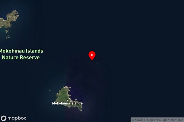
Mokohinau IslandsMaori Rocks Area Map (Street)
Local Authority
AucklandFull Address
Maori Rocks, Auckland, New ZealandAddress Type
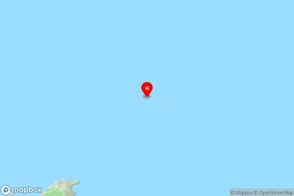
IslandMaori Rocks Suburb Map (Satellite)
Country
Main Region in AU
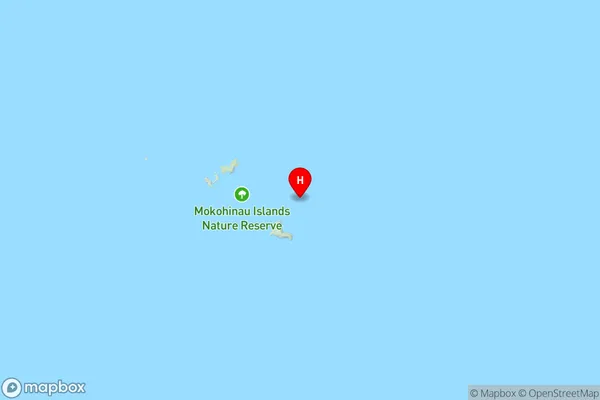
AucklandMaori Rocks Region Map
Coordinates
-35.9229966,175.161559140977 (latitude/longitude)Distances
The distance from Maori Rocks, , Auckland to NZ Top 10 Cities