Hunter Area, Hunter Postcode(7924) & Map in Hunter
Hunter Area, Hunter Postcode(7924) & Map in Hunter, Waimate District, New Zealand
Hunter, Waimate District, New Zealand
Hunter Postcodes
Hunter Area (estimated)
125.0 square kilometersHunter Population (estimated)
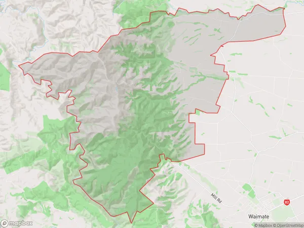
103 people live in Hunter, Canterbury, NZHunter Suburb Area Map (Polygon)
Hunter Introduction
Hunter, Waimate, and Canterbury are three cities in New Zealand's South Island. Hunter is known for its wine industry, Waimate for its wool industry, and Canterbury for its agricultural and scenic landscapes. The region is home to several important historical sites, including the Waimate Plains and the Kaiapoi Gorge.Region
Major City
Suburb Name
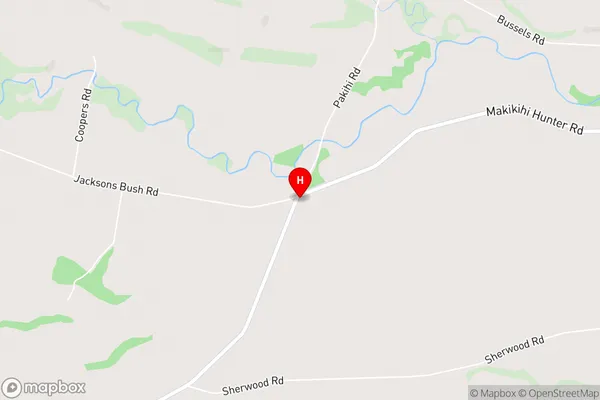
HunterHunter Area Map (Street)
Local Authority
Waimate DistrictFull Address
Hunter, Waimate District, New ZealandAddress Type
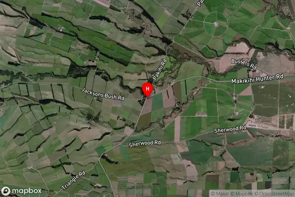
Locality in Town WaimateHunter Suburb Map (Satellite)
Country
Main Region in AU
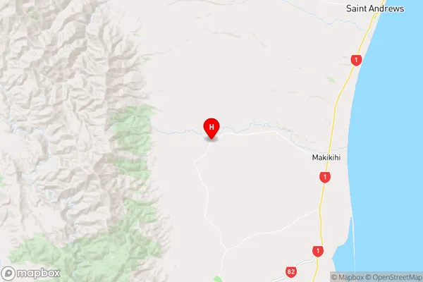
CanterburyHunter Region Map
Coordinates
-44.6213873,171.0270882 (latitude/longitude)Distances
The distance from Hunter, Waimate, Waimate District to NZ Top 10 Cities