Kokomohua Islands Area, Kokomohua Islands Postcode & Map in Kokomohua Islands
Kokomohua Islands Area, Kokomohua Islands Postcode & Map in Kokomohua Islands, Marlborough District, New Zealand
Kokomohua Islands, Marlborough District, New Zealand
Kokomohua Islands Area (estimated)
0.0 square kilometersKokomohua Islands Population (estimated)
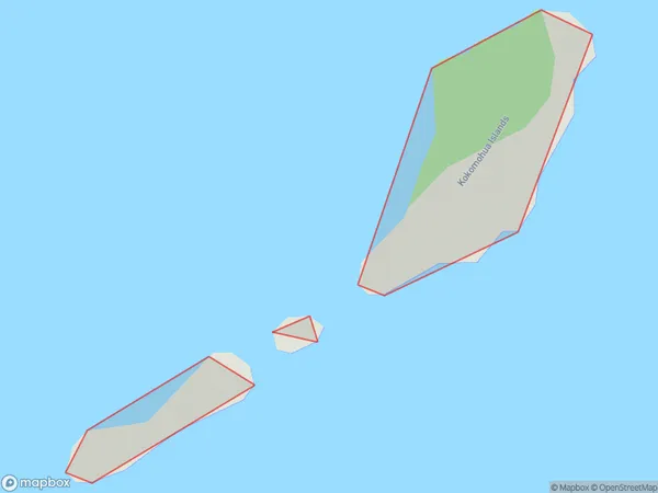
0 people live in Kokomohua Islands, Marlborough, NZKokomohua Islands Suburb Area Map (Polygon)
Kokomohua Islands Introduction
The Kokomohua Islands are a group of islands located in the Marlborough Sounds, Marlborough, New Zealand. They are known for their stunning natural beauty, including crystal-clear waters, lush forests, and picturesque beaches. The islands are a popular destination for outdoor activities such as hiking, kayaking, and fishing, and are home to a variety of wildlife, including seals, dolphins, and penguins. The Kokomohua Islands are also a significant cultural and historical site, with evidence of human settlement dating back thousands of years.Region
0Suburb Name
Kokomohua IslandsOther Name(s)
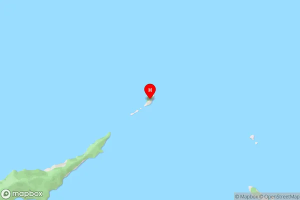
Queen Charlotte Sound (Totaranui)Kokomohua Islands Area Map (Street)
Local Authority
Marlborough DistrictFull Address
Kokomohua Islands, Marlborough District, New ZealandAddress Type
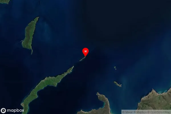
Island in Major Locality Marlborough SoundsKokomohua Islands Suburb Map (Satellite)
Country
Main Region in AU
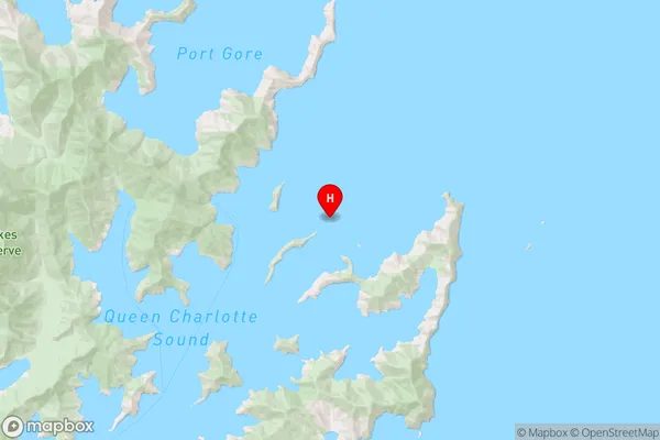
MarlboroughKokomohua Islands Region Map
Coordinates
-41.10171395,174.308617402604 (latitude/longitude)Distances
The distance from Kokomohua Islands, Marlborough Sounds, Marlborough District to NZ Top 10 Cities