John Islands Area, John Islands Postcode & Map in John Islands
John Islands Area, John Islands Postcode & Map in John Islands, Southland District, New Zealand
John Islands, Southland District, New Zealand
John Islands Area (estimated)
0.4 square kilometersJohn Islands Population (estimated)
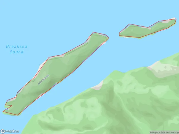
0 people live in John Islands, Southland, NZJohn Islands Suburb Area Map (Polygon)
John Islands Introduction
The John Islands are a group of islands off the southern coast of Southland, New Zealand. They are known for their rugged terrain, scenic landscapes, and diverse wildlife, including penguins, seals, and albatrosses. The islands are a popular destination for outdoor enthusiasts and nature lovers, with several hiking trails and camping sites available. The John Islands are also home to a small community of people who live off the land, harvesting seafood and farming.Region
Suburb Name
John IslandsOther Name(s)
Te Puaitaha / Breaksea SoundJohn Islands Area Map (Street)

Local Authority
Southland DistrictFull Address
John Islands, Southland District, New ZealandAddress Type
IslandJohn Islands Suburb Map (Satellite)

Country
Main Region in AU
SouthlandJohn Islands Region Map

Coordinates
-45.5719811,166.789952900885 (latitude/longitude)Distances
The distance from John Islands, , Southland District to NZ Top 10 Cities