Harbour Islands Area, Harbour Islands Postcode & Map in Harbour Islands
Harbour Islands Area, Harbour Islands Postcode & Map in Harbour Islands, Southland District, New Zealand
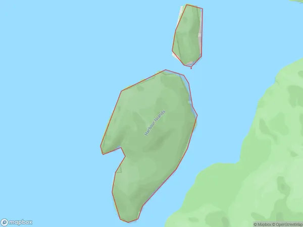
Harbour Islands, Southland District, New Zealand
Harbour Islands Area (estimated)
0.5 square kilometersHarbour Islands Population (estimated)
0 people live in Harbour Islands, Southland, NZHarbour Islands Suburb Area Map (Polygon)
Region
Suburb Name
Harbour IslandsOther Name(s)
Te Puaitaha / Breaksea SoundHarbour Islands Area Map (Street)

Local Authority
Southland DistrictFull Address
Harbour Islands, Southland District, New ZealandAddress Type
IslandHarbour Islands Suburb Map (Satellite)

Country
Main Region in AU
SouthlandHarbour Islands Region Map

Coordinates
-45.5865688,166.768340421969 (latitude/longitude)Distances
The distance from Harbour Islands, , Southland District to NZ Top 10 Cities