Hapuka Rocks Area, Hapuka Rocks Postcode & Map in Hapuka Rocks
Hapuka Rocks Area, Hapuka Rocks Postcode & Map in Hapuka Rocks, Marlborough District, New Zealand
Hapuka Rocks, Marlborough District, New Zealand
Hapuka Rocks Area (estimated)
-1.2 square kilometersHapuka Rocks Population (estimated)
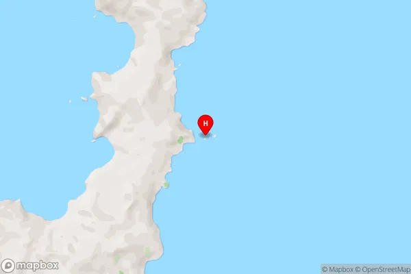
0 people live in Hapuka Rocks, Marlborough, NZHapuka Rocks Suburb Area Map (Polygon)
Hapuka Rocks Introduction
Hapuka Rocks is a small, rocky island located in the Marlborough Sounds, New Zealand. It is a popular spot for swimming, snorkeling, and kayaking due to its clear waters and stunning natural surroundings. The island is also home to a variety of bird species, including the rare New Zealand bittern. Hapuka Rocks is accessible by boat from Blenheim or Havelock, and there are several accommodation options on the island, including a lodge and a campground.Region
0Suburb Name
Hapuka RocksHapuka Rocks Area Map (Street)
Local Authority
Marlborough DistrictFull Address
Hapuka Rocks, Marlborough District, New ZealandAddress Type
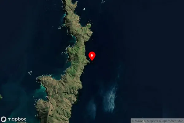
Island in Major Locality Marlborough SoundsHapuka Rocks Suburb Map (Satellite)
Country
Main Region in AU
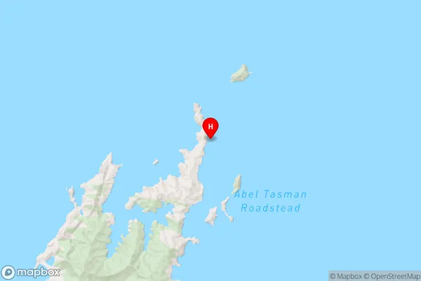
MarlboroughHapuka Rocks Region Map
Coordinates
-40.72008485,173.96750839944 (latitude/longitude)Distances
The distance from Hapuka Rocks, Marlborough Sounds, Marlborough District to NZ Top 10 Cities