Howick Area, Howick Postcode(2010) & Map in Howick
Howick Area, Howick Postcode(2010) & Map in Howick, Auckland, New Zealand
Howick, Auckland, New Zealand
Howick Area (estimated)
3.8 square kilometersHowick Population (estimated)
11305 people live in Howick, Howick, NZHowick Suburb Area Map (Polygon)
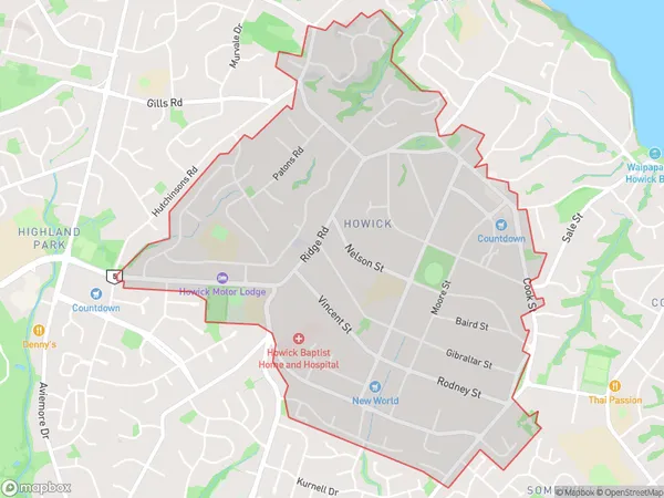
Howick Introduction
Howick is a suburb of Auckland, New Zealand, located in the Eastern Suburbs and is known for its historic homes and gardens. It is also home to the Howick Historical Village, which is a popular tourist attraction. The suburb has a population of around 40,000 people and is located approximately 10 kilometers from the Auckland CBD.Region
Major City
Suburb Name
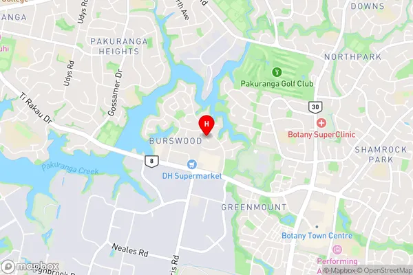
HowickHowick Area Map (Street)
Local Authority
AucklandFull Address
Howick, Auckland, New ZealandAddress Type
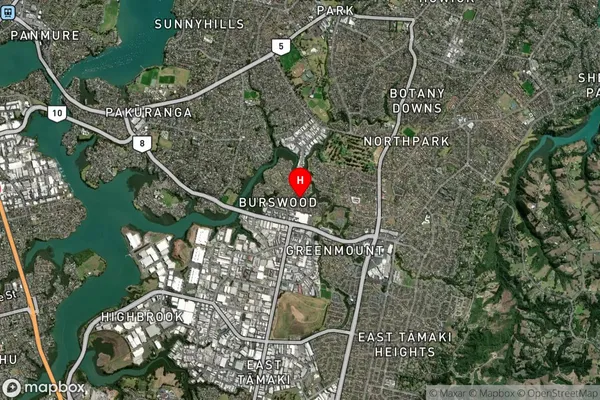
Suburb in City AucklandHowick Suburb Map (Satellite)
Country
Main Region in AU
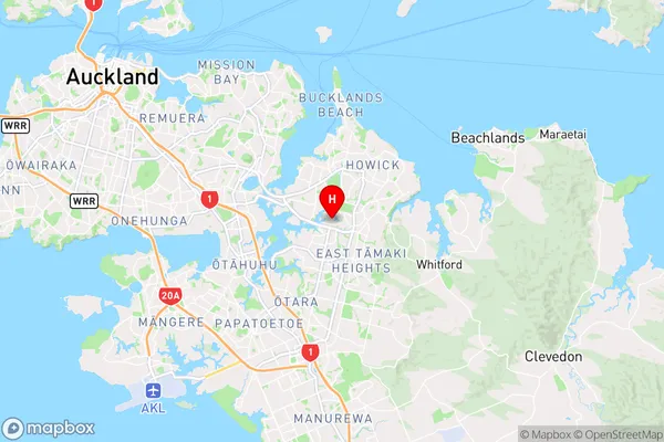
AucklandHowick Region Map
Coordinates
-36.92380915,174.899416100952 (latitude/longitude)Distances
The distance from Howick, Auckland, Auckland to NZ Top 10 Cities