Horohoro Area, Horohoro Postcode & Map in Horohoro
Horohoro Area, Horohoro Postcode & Map in Horohoro, Rotorua District, New Zealand
Horohoro, Rotorua District, New Zealand
Horohoro Area (estimated)
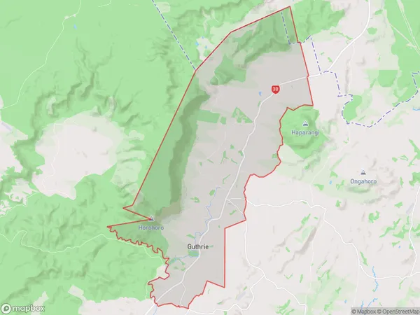
56.2 square kilometersHorohoro Population (estimated)
237 people live in Horohoro, Waikato, NZHorohoro Suburb Area Map (Polygon)
Horohoro Introduction
Horohoro is a small rural community in the Waikato region of New Zealand. It is known for its scenic surroundings, including the Horohoro Forest and the Horohoro Stream. The community has a primary school, a post office, and a small supermarket. It is also home to a number of historic buildings, including the Horohoro Church and the Horohoro Hall.Region
Major City
Suburb Name
HorohoroOther Name(s)
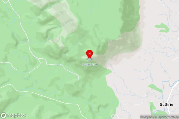
Guthrie, WairekaHorohoro Area Map (Street)
Local Authority
Rotorua DistrictFull Address
Horohoro, Rotorua District, New ZealandAddress Type
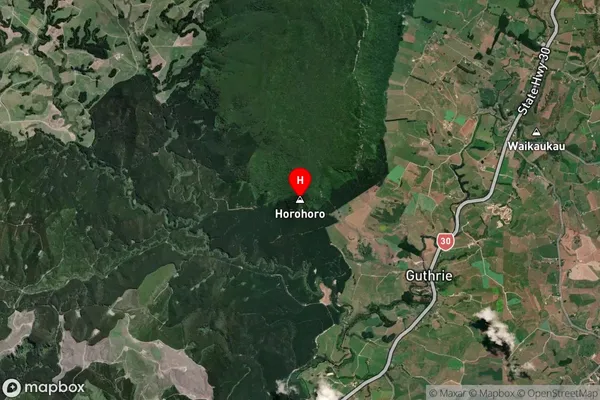
Locality in City RotoruaHorohoro Suburb Map (Satellite)
Country
Main Region in AU
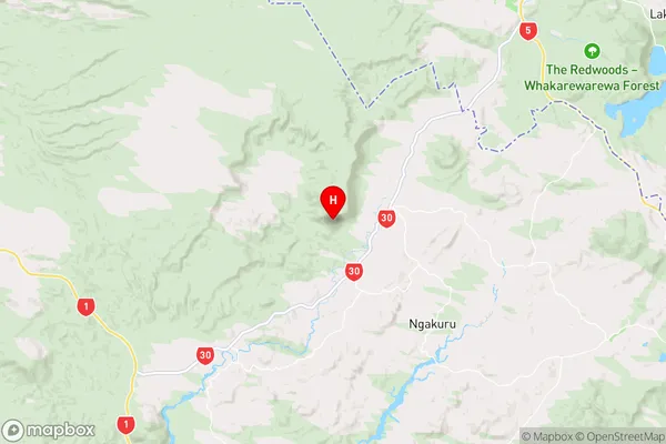
WaikatoHorohoro Region Map
Coordinates
-38.2731571,176.1292662 (latitude/longitude)Distances
The distance from Horohoro, Rotorua, Rotorua District to NZ Top 10 Cities