Hornby South Area, Hornby South Postcode(7676) & Map in Hornby South, Christchurch City
Hornby South Area, Hornby South Postcode(7676) & Map in Hornby South, Christchurch City, Selwyn District, New Zealand
Hornby South, Christchurch City, Selwyn District, New Zealand
Hornby South Area (estimated)
4.2 square kilometersHornby South Population (estimated)
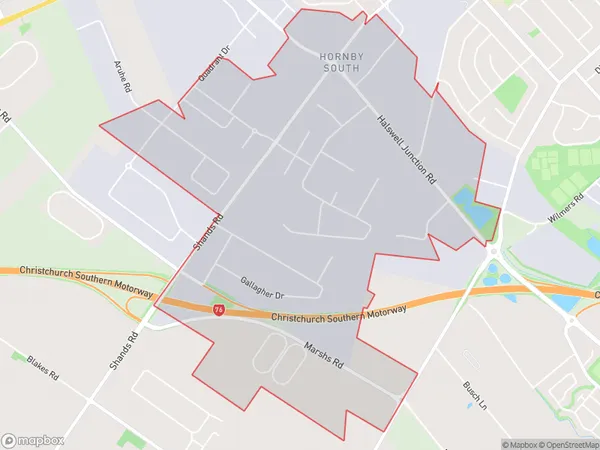
46 people live in Hornby South, Halswell-Hornby-Riccarton Community, NZHornby South Suburb Area Map (Polygon)
Hornby South Introduction
Hornby South is a residential suburb in Christchurch, New Zealand. It is located in the city's southern suburbs and is known for its peaceful atmosphere, well-maintained homes, and convenient location. The suburb has a variety of amenities, including a supermarket, a medical center, and several parks and recreational facilities. It is also home to a number of schools, including Hornby High School and St Bede's College.Region
Major City
Suburb Name
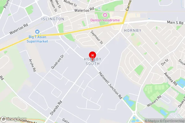
Hornby SouthHornby South Area Map (Street)
Local Authority
Christchurch City, Selwyn DistrictFull Address
Hornby South, Christchurch City, Selwyn District, New ZealandAddress Type
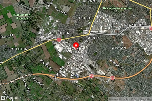
Suburb in City ChristchurchHornby South Suburb Map (Satellite)
Country
Main Region in AU
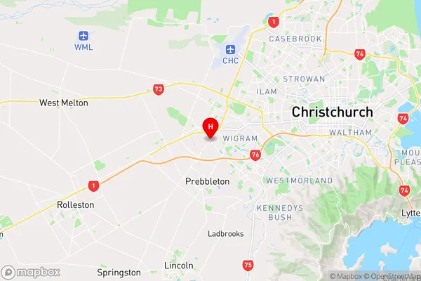
CanterburyHornby South Region Map
Coordinates
-43.5511484,172.5171798 (latitude/longitude)Distances
The distance from Hornby South, Christchurch, Christchurch City, Selwyn District to NZ Top 10 Cities