Hornby Area, Hornby Postcode(8042) & Map in Hornby
Hornby Area, Hornby Postcode(8042) & Map in Hornby, Christchurch City, New Zealand
Hornby, Christchurch City, New Zealand
Hornby Area (estimated)
6.1 square kilometersHornby Population (estimated)
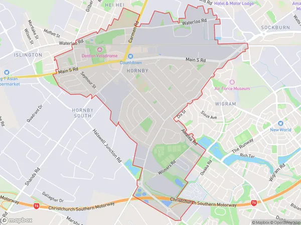
7854 people live in Hornby, Halswell-Hornby-Riccarton Community, NZHornby Suburb Area Map (Polygon)
Hornby Introduction
Hornby is a suburb of Christchurch, New Zealand, located 7 kilometers south of the city center. It is known for its well-preserved historic buildings and quaint village atmosphere. The suburb has a population of around 3,500 people and is home to a variety of shops, restaurants, and recreational facilities. It is also well-connected to the rest of the city, with regular bus services and easy access to the motorway.Region
Major City
Suburb Name
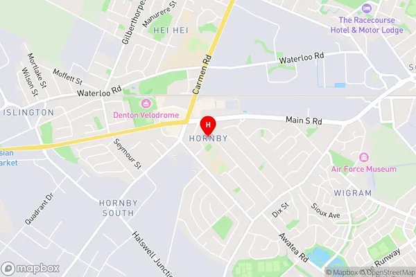
HornbyHornby Area Map (Street)
Local Authority
Christchurch CityFull Address
Hornby, Christchurch City, New ZealandAddress Type
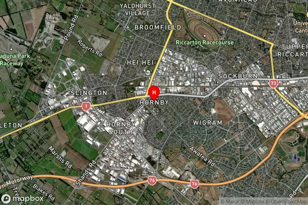
Suburb in City ChristchurchHornby Suburb Map (Satellite)
Country
Main Region in AU
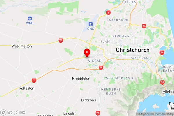
CanterburyHornby Region Map
Coordinates
-43.5448816,172.5283352 (latitude/longitude)Distances
The distance from Hornby, Christchurch, Christchurch City to NZ Top 10 Cities