Flax Islands Area, Flax Islands Postcode(1148) & Map in Flax Islands
Flax Islands Area, Flax Islands Postcode(1148) & Map in Flax Islands, Auckland, New Zealand
Flax Islands, Auckland, New Zealand
Flax Islands Postcodes
Flax Islands Area (estimated)
-1.2 square kilometersFlax Islands Population (estimated)
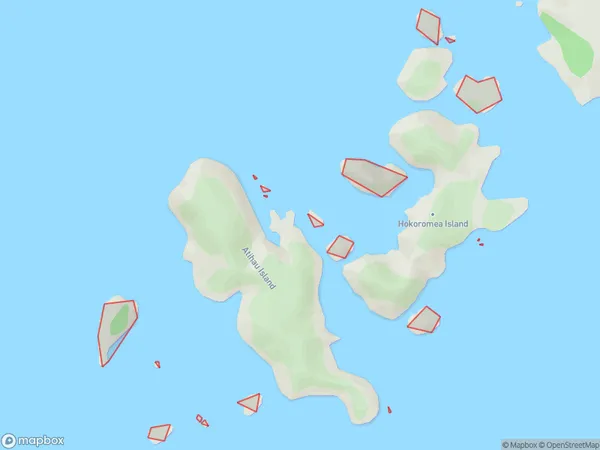
0 people live in Flax Islands, Aotea Great Barrier, NZFlax Islands Suburb Area Map (Polygon)
Flax Islands Introduction
Flax Islands is a small, peaceful island community located in the Hauraki Gulf, just off the coast of Auckland, New Zealand. It is known for its beautiful beaches, lush greenery, and tranquil atmosphere, making it a popular destination for locals and tourists alike. The island has a population of around 1,000 people and is home to a variety of wildlife, including birds, fish, and marine mammals. It is also home to a historic flax mill, which was built in the 1800s and is now a popular tourist attraction.Region
Major City
Suburb Name
Flax IslandsOther Name(s)
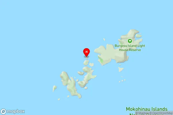
Mokohinau IslandsFlax Islands Area Map (Street)
Local Authority
AucklandFull Address
Flax Islands, Auckland, New ZealandAddress Type
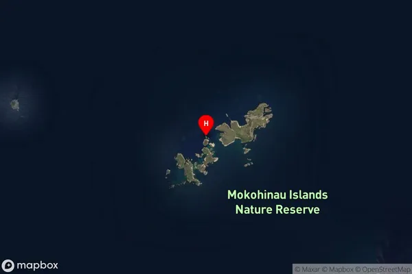
IslandFlax Islands Suburb Map (Satellite)
Country
Main Region in AU
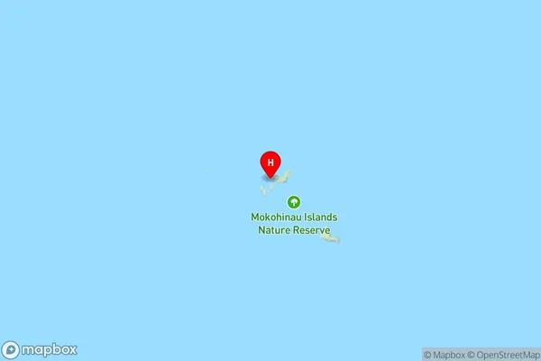
AucklandFlax Islands Region Map
Coordinates
-35.90664715,175.103789648544 (latitude/longitude)Distances
The distance from Flax Islands, , Auckland to NZ Top 10 Cities