Finger Rocks Area, Finger Rocks Postcode & Map in Finger Rocks
Finger Rocks Area, Finger Rocks Postcode & Map in Finger Rocks, Southland District, New Zealand
Finger Rocks, Southland District, New Zealand
Finger Rocks Area (estimated)
-1.2 square kilometersFinger Rocks Population (estimated)
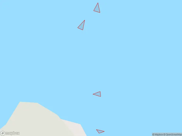
0 people live in Finger Rocks, Southland, NZFinger Rocks Suburb Area Map (Polygon)
Finger Rocks Introduction
Finger Rocks is a small rock formation located in the Catlins Coast region of Southland, New Zealand. It is known for its distinctive shape and is a popular tourist attraction. The rocks are formed from volcanic activity and have a rough and rugged texture. Visitors can walk around the rocks and enjoy the stunning coastal views. The area is also home to a variety of wildlife, including penguins and seals.Region
Suburb Name
Finger RocksOther Name(s)
Bad PassageFinger Rocks Area Map (Street)

Local Authority
Southland DistrictFull Address
Finger Rocks, Southland District, New ZealandAddress Type
IslandFinger Rocks Suburb Map (Satellite)

Country
Main Region in AU
SouthlandFinger Rocks Region Map

Coordinates
-46.03554295,166.518455245733 (latitude/longitude)Distances
The distance from Finger Rocks, , Southland District to NZ Top 10 Cities