Ernest Islands Area, Ernest Islands Postcode & Map in Ernest Islands
Ernest Islands Area, Ernest Islands Postcode & Map in Ernest Islands, Southland District, New Zealand
Ernest Islands, Southland District, New Zealand
Ernest Islands Area (estimated)
0.3 square kilometersErnest Islands Population (estimated)
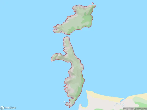
0 people live in Ernest Islands, Southland, NZErnest Islands Suburb Area Map (Polygon)
Ernest Islands Introduction
The 'Ernest Islands' are a small group of islands located in Fiordland National Park, Southland, New Zealand. They are known for their stunning natural beauty, including rugged cliffs, lush forests, and crystal-clear waters. The islands are a popular destination for hiking, kayaking, and wildlife viewing, with a variety of species of birds, seals, and penguins calling them home. The 'Ernest Islands' are also home to a small community of people who live off the land, harvesting fish and growing vegetables.Region
Suburb Name
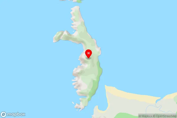
Ernest IslandsErnest Islands Area Map (Street)
Local Authority
Southland DistrictFull Address
Ernest Islands, Southland District, New ZealandAddress Type
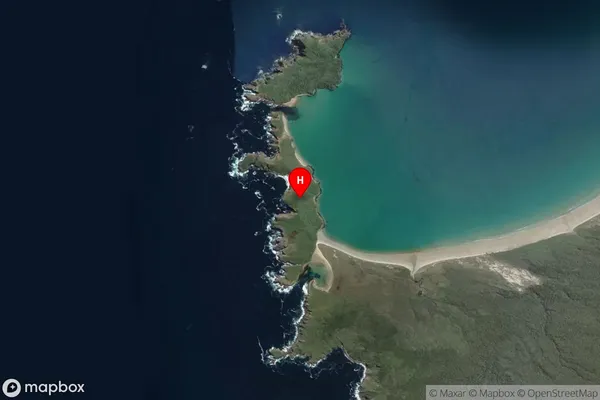
IslandErnest Islands Suburb Map (Satellite)
Country
Main Region in AU
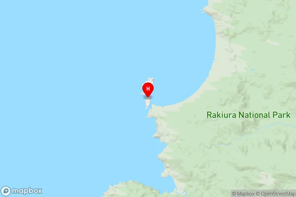
SouthlandErnest Islands Region Map
Coordinates
-46.95939635,167.674286941148 (latitude/longitude)Distances
The distance from Ernest Islands, , Southland District to NZ Top 10 Cities