Homebush Area, Homebush Postcode(5810) & Map in Homebush
Homebush Area, Homebush Postcode(5810) & Map in Homebush, Masterton District, New Zealand
Homebush, Masterton District, New Zealand
Homebush Postcodes
Homebush Area (estimated)
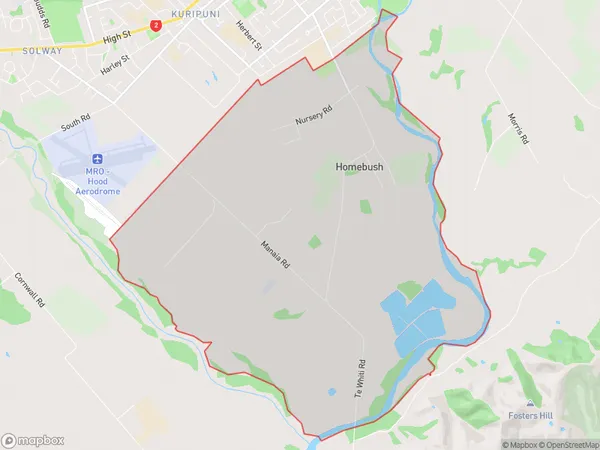
17.0 square kilometersHomebush Population (estimated)
330 people live in Homebush, Wellington, NZHomebush Suburb Area Map (Polygon)
Homebush Introduction
Homebush is a suburb of Masterton, Wellington, New Zealand. It is located on the southern bank of the Wairarapa River, approximately 10 kilometers south of Masterton's city center. The suburb has a population of around 1,200 people and is known for its rural atmosphere and scenic surroundings. Homebush has a variety of housing options, including single-family homes, apartments, and retirement villages. The area is popular with outdoor enthusiasts, with numerous walking and cycling trails nearby. There is also a golf course and a sports club with facilities for a range of sports.Region
Major City
Suburb Name
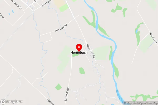
HomebushHomebush Area Map (Street)
Local Authority
Masterton DistrictFull Address
Homebush, Masterton District, New ZealandAddress Type
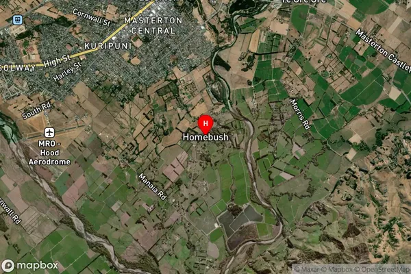
Suburb in Town MastertonHomebush Suburb Map (Satellite)
Country
Main Region in AU
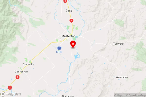
WellingtonHomebush Region Map
Coordinates
-40.9755214,175.6725661 (latitude/longitude)Distances
The distance from Homebush, Masterton, Masterton District to NZ Top 10 Cities