Cording Islands Area, Cording Islands Postcode & Map in Cording Islands
Cording Islands Area, Cording Islands Postcode & Map in Cording Islands, Southland District,
Cording Islands, Southland District,
Cording Islands Area (estimated)
0.1 square kilometersCording Islands Population (estimated)
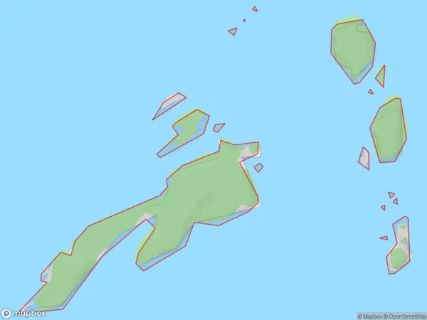
0 people live in Cording Islands, Brighton, NZCording Islands Suburb Area Map (Polygon)
Cording Islands Introduction
Cording Islands are a small group of islands located off the coast of Otago, New Zealand. They are known for their rugged terrain, stunning coastal views, and diverse wildlife, including penguins, seals, and albatrosses. The islands are a popular destination for hiking, camping, and wildlife watching, and are part of the Otago Peninsula Conservation Area.Region
Major City
Suburb Name
Cording IslandsOther Name(s)
Rakituma / Preservation InletCording Islands Area Map (Street)
Local Authority
Southland DistrictFull Address
Cording Islands, Southland District,Address Type
IslandCording Islands Suburb Map (Satellite)
Country
Main Region in AU
OtagoCording Islands Region Map
Coordinates
0,0 (latitude/longitude)Distances
The distance from Cording Islands, , Southland District to NZ Top 10 Cities