Coombe Rocks Area, Coombe Rocks Postcode & Map in Coombe Rocks
Coombe Rocks Area, Coombe Rocks Postcode & Map in Coombe Rocks, Marlborough District, New Zealand
Coombe Rocks, Marlborough District, New Zealand
Coombe Rocks Area (estimated)
0.0 square kilometersCoombe Rocks Population (estimated)
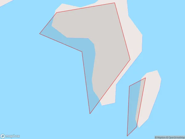
0 people live in Coombe Rocks, Marlborough, NZCoombe Rocks Suburb Area Map (Polygon)
Coombe Rocks Introduction
Coombe Rocks is a historic site in Marlborough, New Zealand, that is important for its association with early European settlement and the development of the region's wine industry. It is located on the banks of the Omaka River and has a range of historic buildings and structures, including a stone church, a homestead, and a winery. The site also has a number of archaeological remains, including the remains of a Mori village that was established in the area in the 13th century.Region
Suburb Name
Coombe RocksCoombe Rocks Area Map (Street)

Local Authority
Marlborough DistrictFull Address
Coombe Rocks, Marlborough District, New ZealandAddress Type
IslandCoombe Rocks Suburb Map (Satellite)

Country
Main Region in AU
MarlboroughCoombe Rocks Region Map

Coordinates
-41.35013845,174.157850275586 (latitude/longitude)Distances
The distance from Coombe Rocks, , Marlborough District to NZ Top 10 Cities