Holmes Hill Area, Holmes Hill Postcode(9401) & Map in Holmes Hill
Holmes Hill Area, Holmes Hill Postcode(9401) & Map in Holmes Hill, Waitaki District, New Zealand
Holmes Hill, Waitaki District, New Zealand
Holmes Hill Postcodes
Holmes Hill Area (estimated)
2.4 square kilometersHolmes Hill Population (estimated)
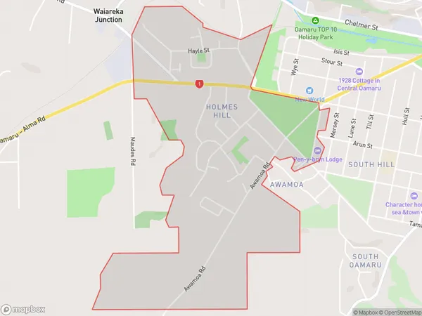
1557 people live in Holmes Hill, Otago, NZHolmes Hill Suburb Area Map (Polygon)
Holmes Hill Introduction
Holmes Hill is a residential suburb of Oamaru, New Zealand, located 5 km north of the city center. It is known for its historic homes and gardens, and for being the location of the Oamaru Blue Penguin Colony, which is one of the largest colonies of blue penguins in the world. The suburb also has a popular golf course and a community center.Region
Major City
Suburb Name
Holmes HillOther Name(s)
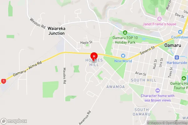
Glendale, Oamaru CentralHolmes Hill Area Map (Street)
Local Authority
Waitaki DistrictFull Address
Holmes Hill, Waitaki District, New ZealandAddress Type
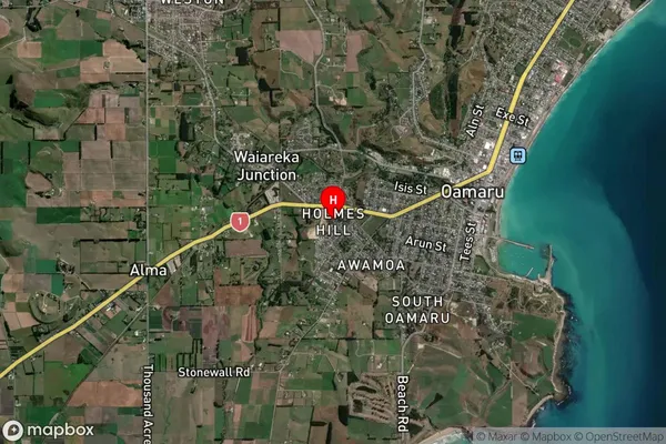
Suburb in Town OamaruHolmes Hill Suburb Map (Satellite)
Country
Main Region in AU
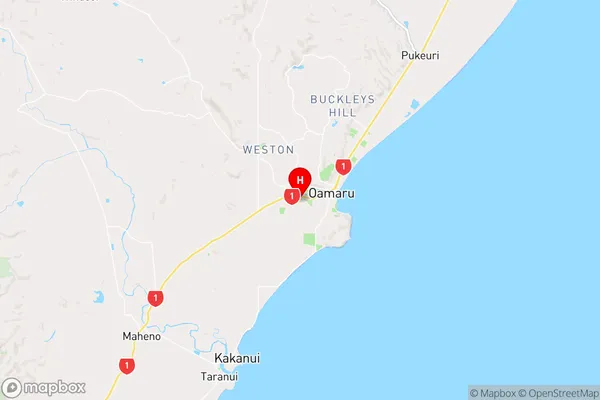
OtagoHolmes Hill Region Map
Coordinates
-45.1031066,170.9468579 (latitude/longitude)Distances
The distance from Holmes Hill, Oamaru, Waitaki District to NZ Top 10 Cities