Hokowhitu Area, Hokowhitu Postcode(4410) & Map in Hokowhitu
Hokowhitu Area, Hokowhitu Postcode(4410) & Map in Hokowhitu, Palmerston North City, New Zealand
Hokowhitu, Palmerston North City, New Zealand
Hokowhitu Area (estimated)
6.0 square kilometersHokowhitu Population (estimated)
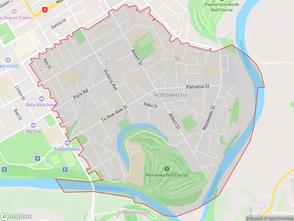
9872 people live in Hokowhitu, Palmerston North, NZHokowhitu Suburb Area Map (Polygon)
Hokowhitu Introduction
Hokowhitu is a small town located in the Manawatu-Wanganui region of New Zealand. It is situated on the banks of the Hokowhitu River and is known for its beautiful natural surroundings, including forests, rivers, and waterfalls. The town has a population of around 1,000 people and is a popular destination for outdoor activities such as hiking, fishing, and kayaking. It is also home to a number of historic buildings, including the Hokowhitu Marae, which is a significant cultural site for the local Maori people.Region
Major City
Suburb Name
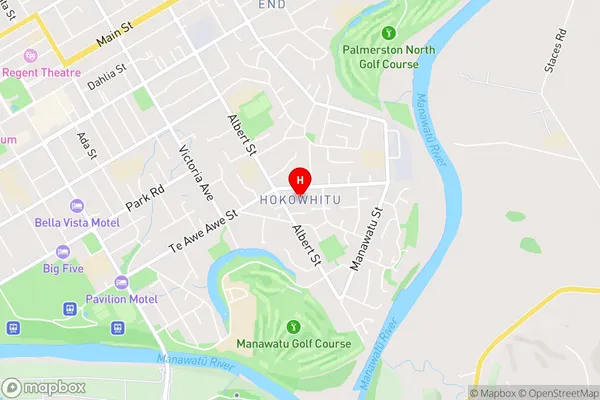
HokowhituHokowhitu Area Map (Street)
Local Authority
Palmerston North CityFull Address
Hokowhitu, Palmerston North City, New ZealandAddress Type
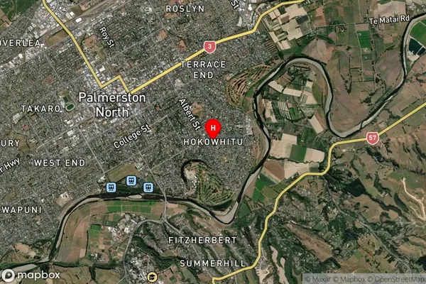
Suburb in City Palmerston NorthHokowhitu Suburb Map (Satellite)
Country
Main Region in AU
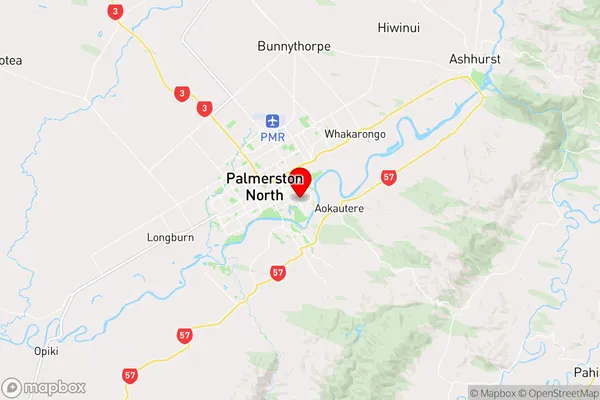
Manawatu-WanganuiHokowhitu Region Map
Coordinates
-40.363187,175.6356772 (latitude/longitude)Distances
The distance from Hokowhitu, Palmerston North, Palmerston North City to NZ Top 10 Cities