Hokonui Hills Area, Hokonui Hills Postcode & Map in Hokonui Hills
Hokonui Hills Area, Hokonui Hills Postcode & Map in Hokonui Hills, Southland District, New Zealand
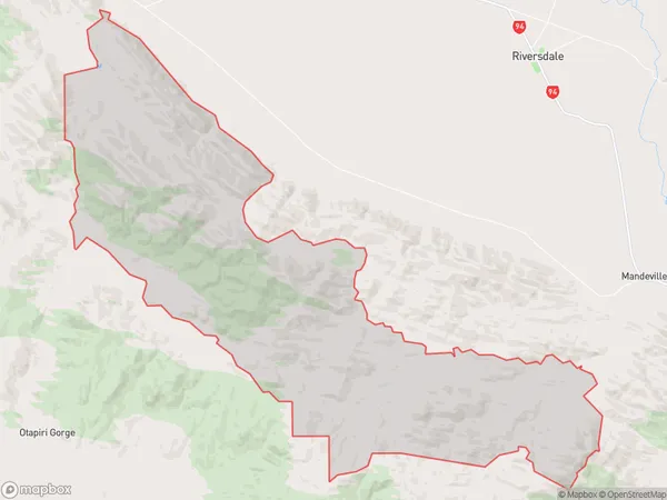
Hokonui Hills, Southland District, New Zealand
Hokonui Hills Area (estimated)
218.0 square kilometersHokonui Hills Population (estimated)
39 people live in Hokonui Hills, Oreti Community, NZHokonui Hills Suburb Area Map (Polygon)
Hokonui Hills Introduction
Hokonui Hills is a rural locality in the Dipton District of Southland, New Zealand. It is located on State Highway 6, between the towns of Dipton and Waiuta. The hills were formed by volcanic activity and are home to a variety of wildlife, including deer, rabbits, and birds. The area is popular with outdoor enthusiasts for hiking, mountain biking, and hunting.Region
Major City
Suburb Name
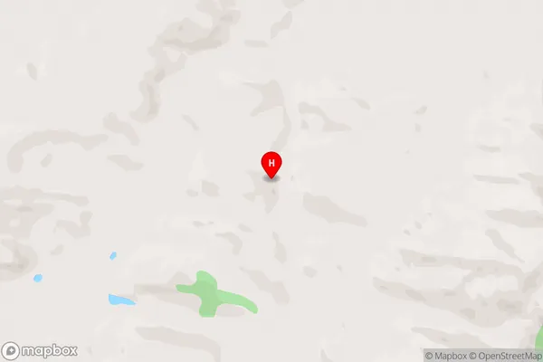
Hokonui HillsHokonui Hills Area Map (Street)
Local Authority
Southland DistrictFull Address
Hokonui Hills, Southland District, New ZealandAddress Type
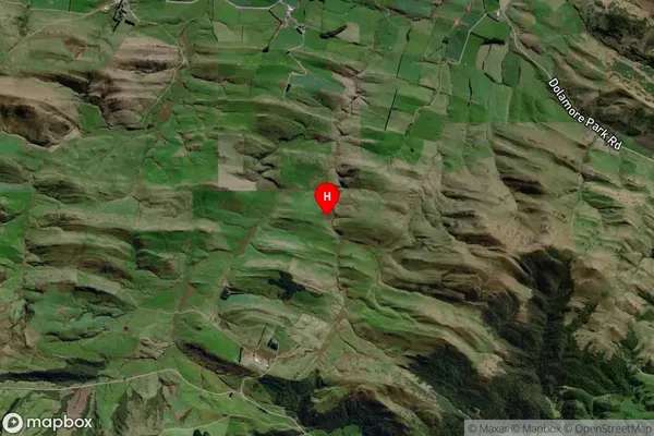
Locality in Major Locality DiptonHokonui Hills Suburb Map (Satellite)
Country
Main Region in AU
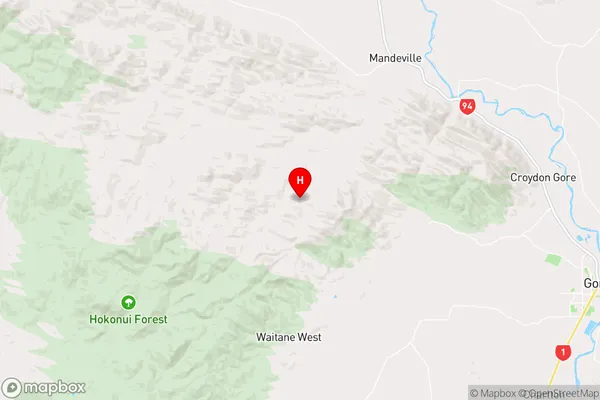
SouthlandHokonui Hills Region Map
Coordinates
-46.05881,168.74072 (latitude/longitude)Distances
The distance from Hokonui Hills, Dipton, Southland District to NZ Top 10 Cities