Hokonui Area, Hokonui Postcode & Map in Hokonui
Hokonui Area, Hokonui Postcode & Map in Hokonui, Southland District, New Zealand
Hokonui, Southland District, New Zealand
Hokonui Area (estimated)
114.0 square kilometersHokonui Population (estimated)
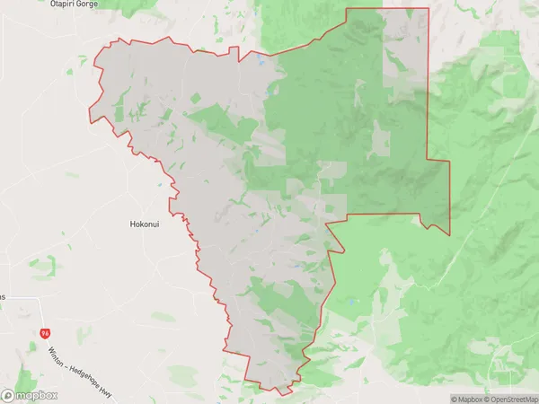
94 people live in Hokonui, Oreti Community, NZHokonui Suburb Area Map (Polygon)
Hokonui Introduction
Hokonui is a small rural community in Southland, New Zealand, located in the Winton District of the Southland Province. It is situated on the banks of the Hokonui River, approximately 12 kilometers south of Winton and 220 kilometers south of Invercargill. The area is known for its scenic landscapes, including the Hokonui Hills and the surrounding farmland. Hokonui has a population of around 100 people and is home to a primary school, a church, and a small community hall. The community is surrounded by beautiful natural scenery and is an ideal location for outdoor activities such as hiking, fishing, and hunting.Region
Major City
Suburb Name
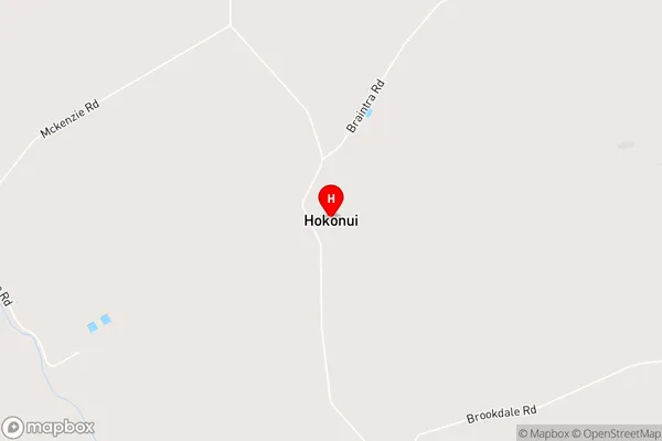
HokonuiHokonui Area Map (Street)
Local Authority
Southland DistrictFull Address
Hokonui, Southland District, New ZealandAddress Type
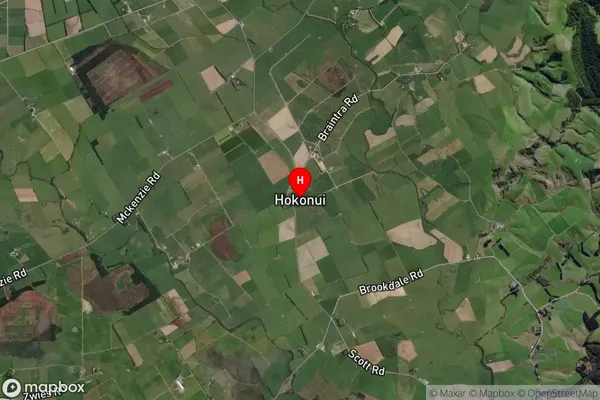
Locality in Town WintonHokonui Suburb Map (Satellite)
Country
Main Region in AU
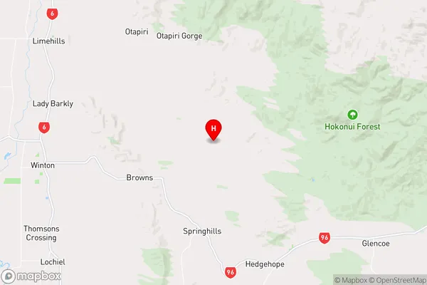
SouthlandHokonui Region Map
Coordinates
-46.126233,168.4887743 (latitude/longitude)Distances
The distance from Hokonui, Winton, Southland District to NZ Top 10 Cities