Hoanga Area, Hoanga Postcode & Map in Hoanga
Hoanga Area, Hoanga Postcode & Map in Hoanga, Kaipara District, New Zealand
Hoanga, Kaipara District, New Zealand
Hoanga Area (estimated)
15.7 square kilometersHoanga Population (estimated)
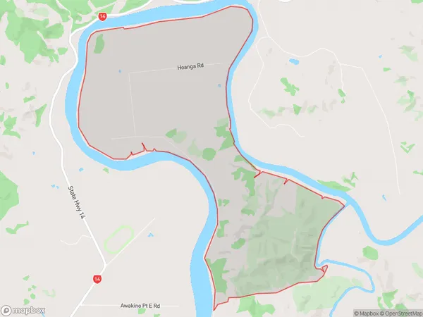
59 people live in Hoanga, Northland, NZHoanga Suburb Area Map (Polygon)
Hoanga Introduction
Hoanga is a small rural community in Northland, New Zealand, located on the banks of the Hoanga River. It is known for its scenic surroundings, including lush forests, waterfalls, and a variety of bird species. The community has a primary school, a post office, and a small supermarket. Hoanga is a popular destination for outdoor enthusiasts, with many hiking and fishing trails in the surrounding area.Region
Major City
Suburb Name
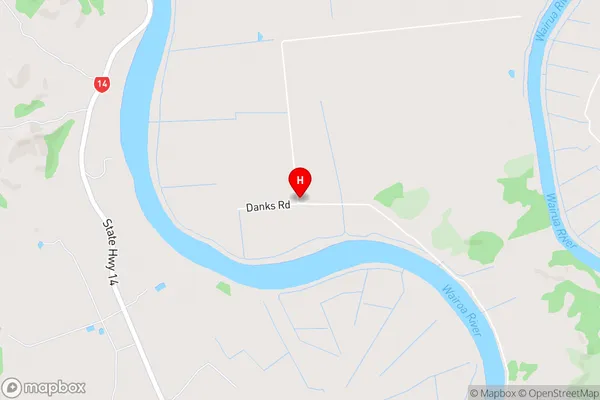
HoangaHoanga Area Map (Street)
Local Authority
Kaipara DistrictFull Address
Hoanga, Kaipara District, New ZealandAddress Type
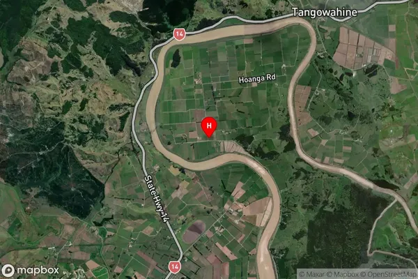
Locality in Town DargavilleHoanga Suburb Map (Satellite)
Country
Main Region in AU
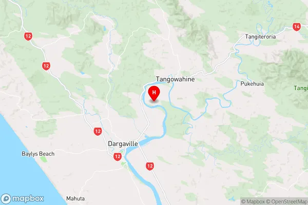
NorthlandHoanga Region Map
Coordinates
-35.893587,173.9047337 (latitude/longitude)Distances
The distance from Hoanga, Dargaville, Kaipara District to NZ Top 10 Cities