Hira Area, Hira Postcode(7071) & Map in Hira
Hira Area, Hira Postcode(7071) & Map in Hira, Nelson City, New Zealand
Hira, Nelson City, New Zealand
Hira Postcodes
Hira Area (estimated)
28.9 square kilometersHira Population (estimated)
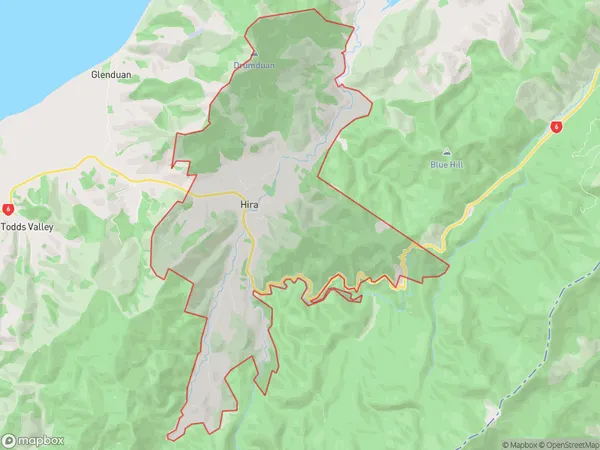
612 people live in Hira, Nelson, NZHira Suburb Area Map (Polygon)
Hira Introduction
Hira, Hira, Nelson, New Zealand, is a rural locality located in the Nelson Region of New Zealand's South Island. It is situated 20 kilometers northwest of Nelson city, near the Hira Bay. The area is known for its scenic beauty, including the Hira Forest Park, which offers a range of outdoor activities such as hiking, mountain biking, and hunting. The population of Hira is approximately 2,000 people, with a majority of the residents being of European descent. The town has a primary school, a post office, a supermarket, and a variety of small businesses and cafes.Region
Major City
Suburb Name
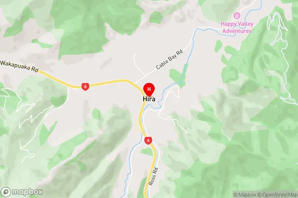
HiraHira Area Map (Street)
Local Authority
Nelson CityFull Address
Hira, Nelson City, New ZealandAddress Type
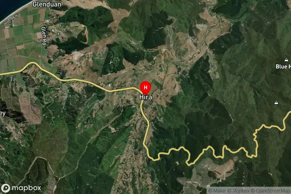
Locality in Major Locality HiraHira Suburb Map (Satellite)
Country
Main Region in AU
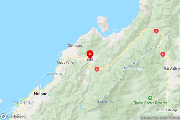
NelsonHira Region Map
Coordinates
-41.2129625,173.3967573 (latitude/longitude)Distances
The distance from Hira, Hira, Nelson City to NZ Top 10 Cities