Hindon Area, Hindon Postcode(9054) & Map in Hindon
Hindon Area, Hindon Postcode(9054) & Map in Hindon, Dunedin City, New Zealand
Hindon, Dunedin City, New Zealand
Hindon Postcodes
Hindon Area (estimated)
209.7 square kilometersHindon Population (estimated)
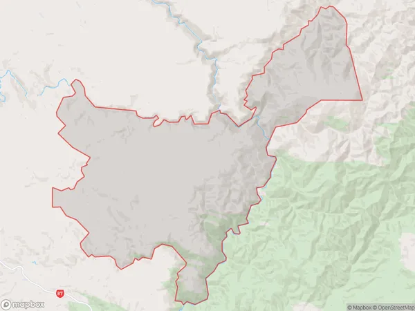
75 people live in Hindon, Otago, NZHindon Suburb Area Map (Polygon)
Hindon Introduction
Hindon is a small rural community in Outram, Otago, New Zealand. It is located on the banks of the Hindon River, 12 km south of Outram and 112 km south of Dunedin. The area was first settled in the 1860s by Scottish and Irish settlers, and the village was established in the 1870s. Hindon is known for its historic stone buildings, including the Hindon Hotel, which was built in 1878. The village has a population of around 100 people and is a popular tourist destination, particularly during the winter months when the surrounding hills are covered in snow.Region
Major City
Suburb Name
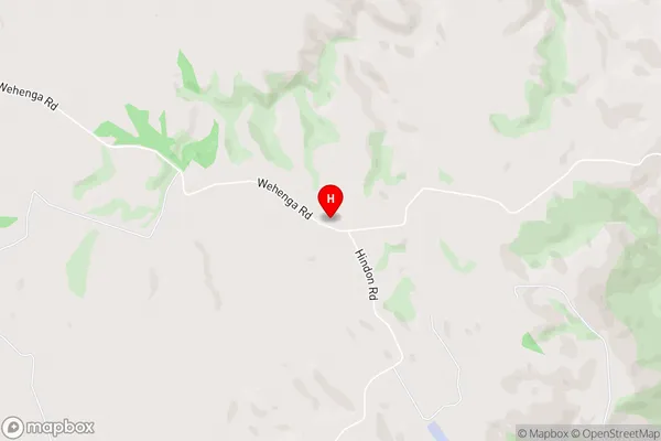
HindonHindon Area Map (Street)
Local Authority
Dunedin CityFull Address
Hindon, Dunedin City, New ZealandAddress Type
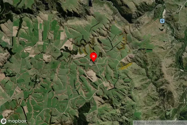
Locality in Town OutramHindon Suburb Map (Satellite)
Country
Main Region in AU
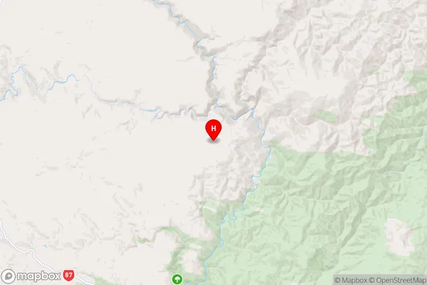
OtagoHindon Region Map
Coordinates
-45.7279332,170.3022222 (latitude/longitude)Distances
The distance from Hindon, Outram, Dunedin City to NZ Top 10 Cities