Hillsborough Area, Hillsborough Postcode(1042) & Map in Hillsborough
Hillsborough Area, Hillsborough Postcode(1042) & Map in Hillsborough, Auckland, New Zealand
Hillsborough, Auckland, New Zealand
Hillsborough Area (estimated)
4.1 square kilometersHillsborough Population (estimated)
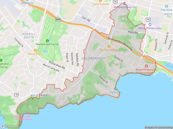
8436 people live in Hillsborough, Puketāpapa, NZHillsborough Suburb Area Map (Polygon)
Hillsborough Introduction
Hillsborough is a suburb of Auckland, New Zealand, located in the Eastern Suburbs district. It is known for its large population of Asian immigrants and has a variety of shops, restaurants, and cultural attractions. The area is also home to the Hillsborough Stadium, which is used for football matches and other sporting events.Region
Major City
Suburb Name
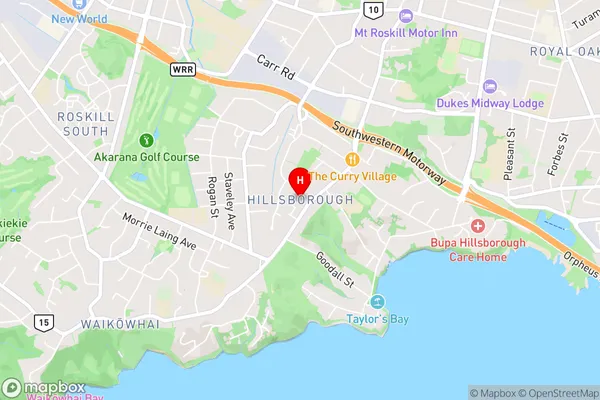
HillsboroughHillsborough Area Map (Street)
Local Authority
AucklandFull Address
Hillsborough, Auckland, New ZealandAddress Type
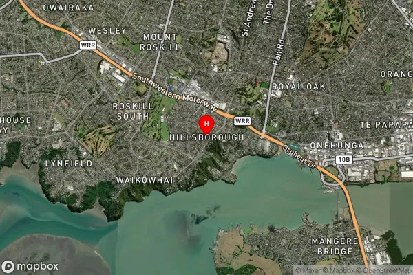
Suburb in City AucklandHillsborough Suburb Map (Satellite)
Country
Main Region in AU
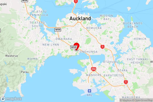
AucklandHillsborough Region Map
Coordinates
-36.9221753,174.7532908 (latitude/longitude)Distances
The distance from Hillsborough, Auckland, Auckland to NZ Top 10 Cities