Bunker Islets Area, Bunker Islets Postcode & Map in Bunker Islets
Bunker Islets Area, Bunker Islets Postcode & Map in Bunker Islets, Southland District, New Zealand
Bunker Islets, Southland District, New Zealand
Bunker Islets Area (estimated)
-1.2 square kilometersBunker Islets Population (estimated)
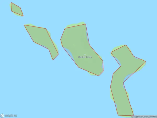
0 people live in Bunker Islets, Southland, NZBunker Islets Suburb Area Map (Polygon)
Bunker Islets Introduction
Bunker Islets are a small group of islands located off the coast of Southland, New Zealand. They are known for their stunning natural beauty, including rugged cliffs, crystal-clear waters, and a diverse range of wildlife. The islands are a popular destination for tourists and outdoor enthusiasts, with opportunities for hiking, kayaking, and birdwatching. The Bunker Islands Marine Reserve protects the islands and their surrounding waters, ensuring that they remain a pristine and protected environment for future generations.Region
Suburb Name
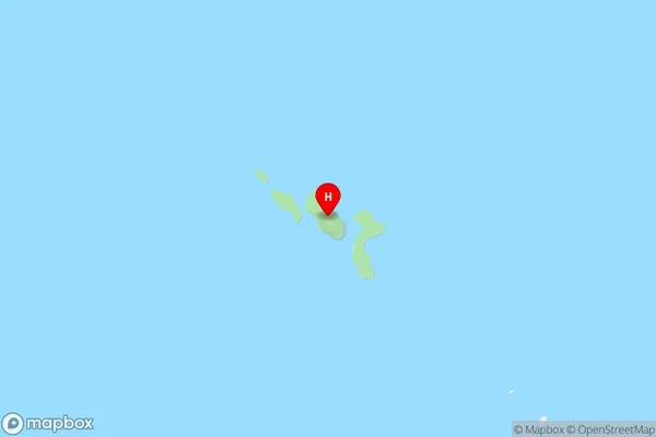
Bunker IsletsBunker Islets Area Map (Street)
Local Authority
Southland DistrictFull Address
Bunker Islets, Southland District, New ZealandAddress Type
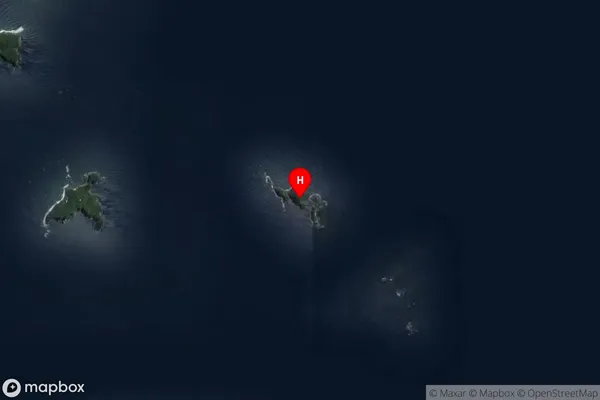
IslandBunker Islets Suburb Map (Satellite)
Country
Main Region in AU
SouthlandBunker Islets Region Map

Coordinates
-46.865957,168.2650766 (latitude/longitude)Distances
The distance from Bunker Islets, , Southland District to NZ Top 10 Cities