Budges Island Area, Budges Island Postcode & Map in Budges Island
Budges Island Area, Budges Island Postcode & Map in Budges Island, Marlborough District, New Zealand
Budges Island, Marlborough District, New Zealand
Budges Island Area (estimated)
0.3 square kilometersBudges Island Population (estimated)
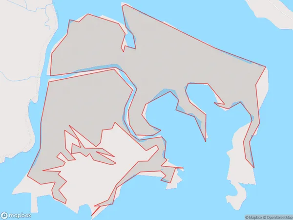
0 people live in Budges Island, Marlborough, NZBudges Island Suburb Area Map (Polygon)
Budges Island Introduction
Budges Island is a small, uninhabited island in the Marlborough Sounds, New Zealand. It is part of the Pelorus Sound Scenic Reserve and is known for its stunning natural beauty, including lush forests, crystal-clear waters, and a variety of wildlife. The island is accessible by boat or kayak and is a popular destination for hiking, camping, and fishing.Region
Suburb Name
Budges IslandOther Name(s)
Big LagoonBudges Island Area Map (Street)

Local Authority
Marlborough DistrictFull Address
Budges Island, Marlborough District, New ZealandAddress Type
IslandBudges Island Suburb Map (Satellite)

Country
Main Region in AU
MarlboroughBudges Island Region Map

Coordinates
-41.53213175,174.074624079857 (latitude/longitude)Distances
The distance from Budges Island, , Marlborough District to NZ Top 10 Cities