Hillcrest Area, Hillcrest Postcode(0627) & Map in Hillcrest
Hillcrest Area, Hillcrest Postcode(0627) & Map in Hillcrest, Auckland, New Zealand
Hillcrest, Auckland, New Zealand
Hillcrest Postcodes
Hillcrest Area (estimated)
3.8 square kilometersHillcrest Population (estimated)
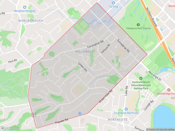
10952 people live in Hillcrest, Kaipātiki, NZHillcrest Suburb Area Map (Polygon)
Hillcrest Introduction
Hillcrest is a suburb in Auckland, New Zealand, with a rich history and diverse community. It is known for its beautiful homes, leafy streets, and excellent schools. The area has a variety of shops, restaurants, and recreational facilities, including the Hillcrest Aquatic Centre and the Hillcrest Park Racecourse. Hillcrest is also home to a large number of healthcare providers, including the Auckland City Hospital.Region
Major City
Suburb Name
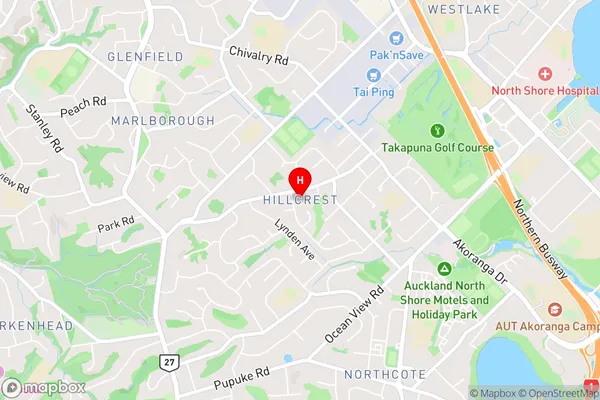
HillcrestHillcrest Area Map (Street)
Local Authority
AucklandFull Address
Hillcrest, Auckland, New ZealandAddress Type
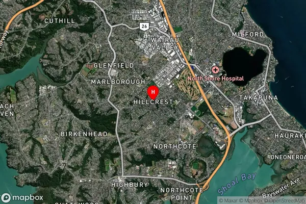
Suburb in City AucklandHillcrest Suburb Map (Satellite)
Country
Main Region in AU
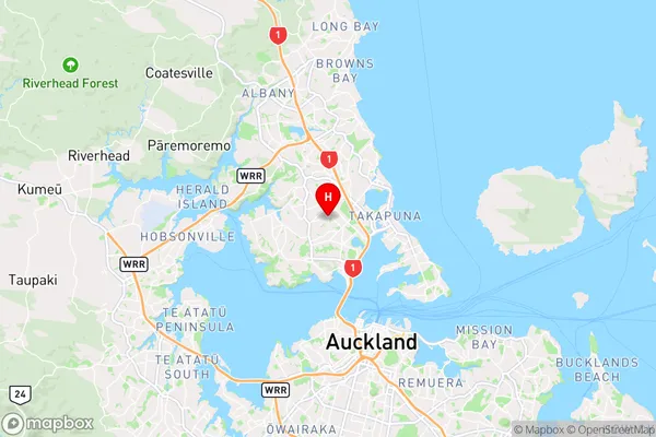
AucklandHillcrest Region Map
Coordinates
-36.7900549,174.7357925 (latitude/longitude)Distances
The distance from Hillcrest, Auckland, Auckland to NZ Top 10 Cities