Breaksea Islands Area, Breaksea Islands Postcode & Map in Breaksea Islands
Breaksea Islands Area, Breaksea Islands Postcode & Map in Breaksea Islands, Southland District, New Zealand
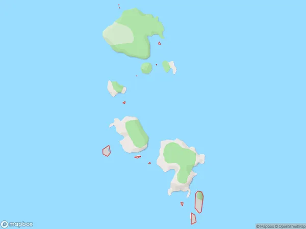
Breaksea Islands, Southland District, New Zealand
Breaksea Islands Area (estimated)
-1.2 square kilometersBreaksea Islands Population (estimated)
0 people live in Breaksea Islands, Southland, NZBreaksea Islands Suburb Area Map (Polygon)
Breaksea Islands Introduction
The Breaksea Islands are a group of islands off the southern coast of New Zealand's Southland region. They are known for their rugged terrain, stunning coastal scenery, and diverse wildlife, including seals, penguins, and albatrosses. The islands are a popular destination for outdoor enthusiasts, with opportunities for hiking, kayaking, and fishing. The Breaksea Islands are also home to a unique breed of sheep, known as the Breaksea Island sheep, which are adapted to the harsh conditions of the islands.Region
Suburb Name
Breaksea IslandsOther Name(s)
Titi / Muttonbird Islands, Titi/muttonbird Islands (eastern Chain) (Maori Name: Tītī / Muttonbird Islands, Titi/muttonbird Islands (eastern Chain))Breaksea Islands Area Map (Street)

Local Authority
Southland DistrictFull Address
Breaksea Islands, Southland District, New ZealandAddress Type
IslandBreaksea Islands Suburb Map (Satellite)

Country
Main Region in AU
SouthlandBreaksea Islands Region Map

Coordinates
-47.11533855,168.196862569163 (latitude/longitude)Distances
The distance from Breaksea Islands, , Southland District to NZ Top 10 Cities