Hilderthorpe Area, Hilderthorpe Postcode(9493) & Map in Hilderthorpe
Hilderthorpe Area, Hilderthorpe Postcode(9493) & Map in Hilderthorpe, Waitaki District, New Zealand
Hilderthorpe, Waitaki District, New Zealand
Hilderthorpe Postcodes
Hilderthorpe Area (estimated)
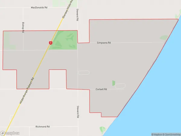
14.8 square kilometersHilderthorpe Population (estimated)
50 people live in Hilderthorpe, Otago, NZHilderthorpe Suburb Area Map (Polygon)
Hilderthorpe Introduction
Hilderthorpe, Waitaki Bridge, Otago, NZ, is a small rural town located on the banks of the Waitaki River, 12 km south of Oamaru. It was established in 1865 and named after Hilderthorpe, a village in Yorkshire, England. The town has a population of around 1,000 people and is known for its historic stone buildings, including the Hilderthorpe Hotel and the Old Bank Building. The Waitaki Bridge, which connects Hilderthorpe to the north bank of the river, was built in 1936 and is a popular fishing spot.Region
Major City
Suburb Name
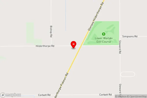
HilderthorpeHilderthorpe Area Map (Street)
Local Authority
Waitaki DistrictFull Address
Hilderthorpe, Waitaki District, New ZealandAddress Type
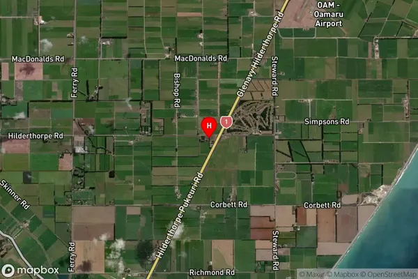
Locality in Major Locality Waitaki BridgeHilderthorpe Suburb Map (Satellite)
Country
Main Region in AU
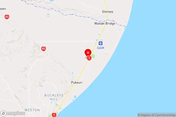
OtagoHilderthorpe Region Map
Coordinates
-44.9932117,171.0558629 (latitude/longitude)Distances
The distance from Hilderthorpe, Waitaki Bridge, Waitaki District to NZ Top 10 Cities