Bishop and Clerks Islands Area, Bishop and Clerks Islands Postcode & Map in Bishop and Clerks Islands
Bishop and Clerks Islands Area, Bishop and Clerks Islands Postcode & Map in Bishop and Clerks Islands, Southland District, New Zealand
Bishop and Clerks Islands, Southland District, New Zealand
Bishop and Clerks Islands Area (estimated)
-1.2 square kilometersBishop and Clerks Islands Population (estimated)
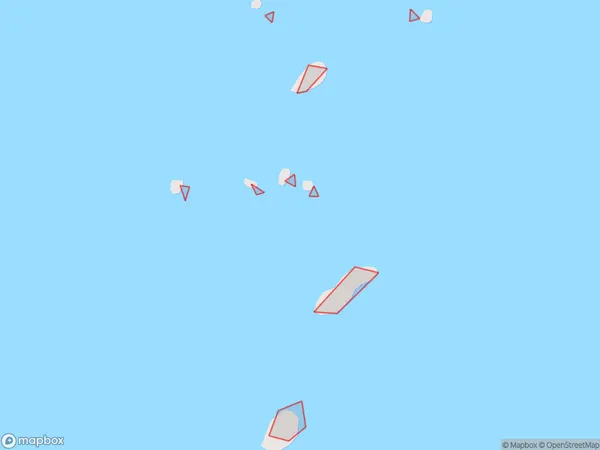
0 people live in Bishop and Clerks Islands, Southland, NZBishop and Clerks Islands Suburb Area Map (Polygon)
Bishop and Clerks Islands Introduction
Bishop and Clerks Islands are located in Fiordland National Park in Southland, New Zealand. They are known for their stunning natural beauty, including waterfalls, rainforests, and glacial lakes. The islands are a popular destination for hiking, kayaking, and wildlife viewing. The population of the islands is limited to a few hundred people who live in small settlements.Region
Suburb Name
Bishop and Clerks IslandsBishop and Clerks Islands Area Map (Street)

Local Authority
Southland DistrictFull Address
Bishop and Clerks Islands, Southland District, New ZealandAddress Type
IslandBishop and Clerks Islands Suburb Map (Satellite)

Country
Main Region in AU
SouthlandBishop and Clerks Islands Region Map

Coordinates
-46.67669225,167.804520124526 (latitude/longitude)Distances
The distance from Bishop and Clerks Islands, , Southland District to NZ Top 10 Cities