Mokohinau Islands Area, Mokohinau Islands Postcode(1148) & Map in Mokohinau Islands
Mokohinau Islands Area, Mokohinau Islands Postcode(1148) & Map in Mokohinau Islands, Auckland, New Zealand
Mokohinau Islands, Auckland, New Zealand
Mokohinau Islands Postcodes
Mokohinau Islands Area (estimated)
-1.2 square kilometersMokohinau Islands Population (estimated)
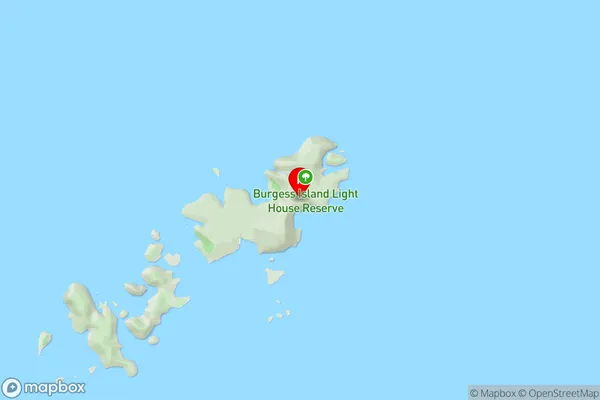
0 people live in Mokohinau Islands, Aotea Great Barrier, NZMokohinau Islands Suburb Area Map (Polygon)
Mokohinau Islands Introduction
The Mokohinau Islands are a group of islands off the coast of Auckland, New Zealand. They are known for their stunning natural beauty, including pristine beaches, rugged cliffs, and lush forests. The islands are a popular destination for hiking, camping, and wildlife watching, with a variety of species of birds, reptiles, and marine mammals. The islands also have a rich cultural heritage, with evidence of early Māori settlement and European exploration.Region
Major City
Suburb Name
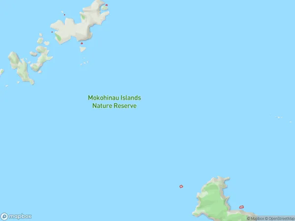
Mokohinau IslandsMokohinau Islands Area Map (Street)
Local Authority
AucklandFull Address
Mokohinau Islands, Auckland, New ZealandAddress Type
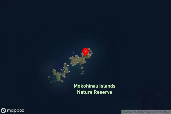
IslandMokohinau Islands Suburb Map (Satellite)
Country
Main Region in AU
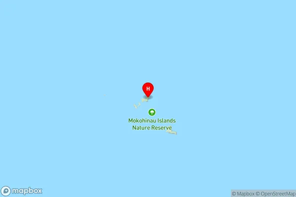
AucklandMokohinau Islands Region Map
Coordinates
-35.90423675,175.116214382512 (latitude/longitude)Distances
The distance from Mokohinau Islands, , Auckland to NZ Top 10 Cities