Herekino Forest Area, Herekino Forest Postcode & Map in Herekino Forest
Herekino Forest Area, Herekino Forest Postcode & Map in Herekino Forest, Far North District, New Zealand
Herekino Forest, Far North District, New Zealand
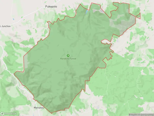
Herekino Forest Area (estimated)
61.4 square kilometersHerekino Forest Population (estimated)
3 people live in Herekino Forest, Te Hiku Community, NZHerekino Forest Suburb Area Map (Polygon)
Herekino Forest Introduction
Herekino Forest is a 250-hectare forest located in Northland, New Zealand, known for its diverse range of plant and animal species. It is home to the Northland brown kiwi, Northland kauri, and Northland long-tailed bat, and is an important conservation area for these species. The forest also has a rich history and cultural significance to local Māori people, who have used the forest for food, medicine, and other purposes for centuries.Region
0Suburb Name
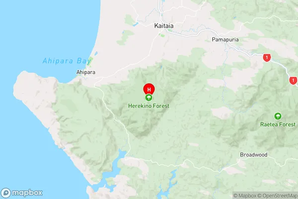
Herekino ForestHerekino Forest Area Map (Street)

Local Authority
Far North DistrictFull Address
Herekino Forest, Far North District, New ZealandAddress Type
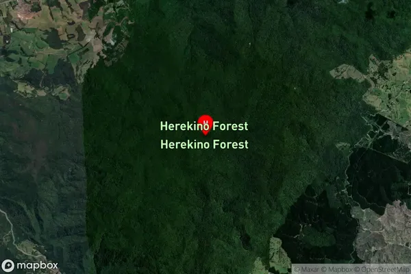
Conservation Land in Major Locality Northland Conservation ParkHerekino Forest Suburb Map (Satellite)
Country
Main Region in AU
NorthlandHerekino Forest Region Map
Coordinates
-35.1973508,173.243498466317 (latitude/longitude)Distances
The distance from Herekino Forest, Northland Conservation Park, Far North District to NZ Top 10 Cities