Woody Island Area, Woody Island Postcode(0622) & Map in Woody Island
Woody Island Area, Woody Island Postcode(0622) & Map in Woody Island, Auckland, New Zealand
Woody Island, Auckland, New Zealand
Woody Island Postcodes
Woody Island Area (estimated)
0.0 square kilometersWoody Island Population (estimated)
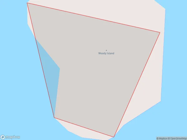
0 people live in Woody Island, Waiheke, NZWoody Island Suburb Area Map (Polygon)
Woody Island Introduction
Woody Island is a small island in the Hauraki Gulf, located in Auckland, New Zealand. It is a popular destination for picnics, with a beautiful beach and a range of wildlife. The island is also home to a historic lighthouse and a military base.Region
Major City
Suburb Name
Woody IslandOther Name(s)
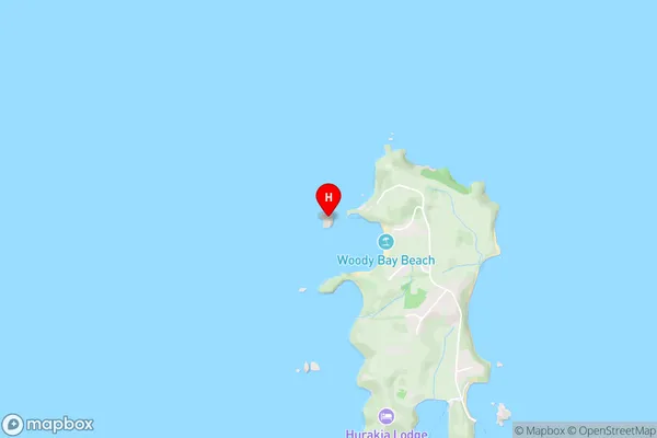
Hauraki GulfWoody Island Area Map (Street)
Local Authority
AucklandFull Address
Woody Island, Auckland, New ZealandAddress Type
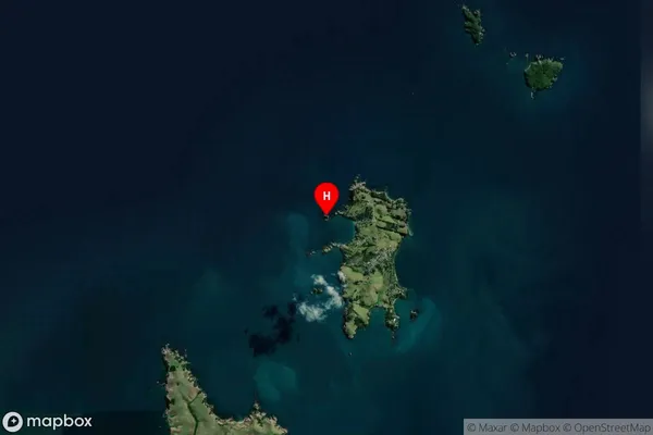
IslandWoody Island Suburb Map (Satellite)
Country
Main Region in AU
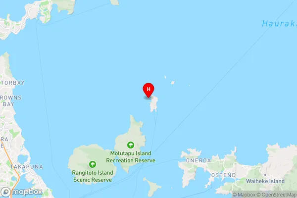
AucklandWoody Island Region Map
Coordinates
-36.7135297,174.940772613 (latitude/longitude)Distances
The distance from Woody Island, , Auckland to NZ Top 10 Cities