Womens Island Area, Womens Island Postcode & Map in Womens Island
Womens Island Area, Womens Island Postcode & Map in Womens Island, Southland District, New Zealand
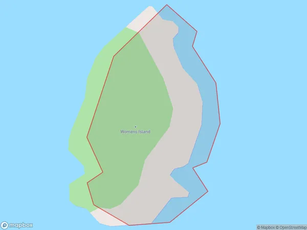
Womens Island, Southland District, New Zealand
Womens Island Area (estimated)
0.1 square kilometersWomens Island Population (estimated)
0 people live in Womens Island, Southland, NZWomens Island Suburb Area Map (Polygon)
Womens Island Introduction
Womens Island is a small island in Fiordland, Southland, New Zealand. It is part of the Fiordland National Park and is known for its scenic beauty, including waterfalls, rainforests, and a variety of wildlife. The island is accessible by boat or a short walk from the shore.Region
Suburb Name
Womens IslandOther Name(s)
Titi / Muttonbird Islands (Maori Name: Tītī / Muttonbird Islands)Womens Island Area Map (Street)

Local Authority
Southland DistrictFull Address
Womens Island, Southland District, New ZealandAddress Type
IslandWomens Island Suburb Map (Satellite)

Country
Main Region in AU
SouthlandWomens Island Region Map

Coordinates
-46.8233896,168.245295945068 (latitude/longitude)Distances
The distance from Womens Island, , Southland District to NZ Top 10 Cities