White Rock Area, White Rock Postcode & Map in White Rock
White Rock Area, White Rock Postcode & Map in White Rock, Southland District, New Zealand
White Rock, Southland District, New Zealand
White Rock Area (estimated)
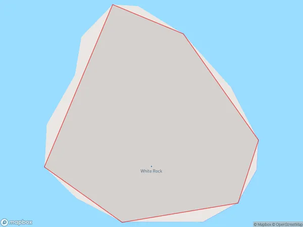
0.0 square kilometersWhite Rock Population (estimated)
0 people live in White Rock, Southland, NZWhite Rock Suburb Area Map (Polygon)
White Rock Introduction
White Rock is a small rural community in Southland, New Zealand. It is located on the southern coast of the South Island, about 12 kilometers south of Invercargill. The area is known for its scenic beauty, with white sandy beaches and rugged cliffs overlooking the ocean. The community has a population of around 200 people and is home to a primary school, a church, and a few small businesses.Region
Suburb Name
White RockWhite Rock Area Map (Street)
Local Authority
Southland DistrictFull Address
White Rock, Southland District, New ZealandAddress Type
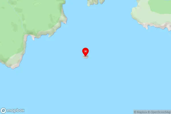
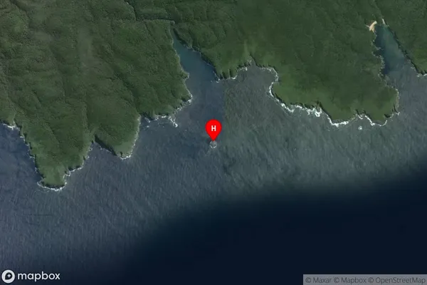
IslandWhite Rock Suburb Map (Satellite)
Country
Main Region in AU
SouthlandWhite Rock Region Map

Coordinates
-47.1322958,168.0024901 (latitude/longitude)Distances
The distance from White Rock, , Southland District to NZ Top 10 Cities