White Island Area, White Island Postcode & Map in White Island
White Island Area, White Island Postcode & Map in White Island, Southland District, New Zealand
White Island, Southland District, New Zealand
White Island Area (estimated)
0.0 square kilometersWhite Island Population (estimated)
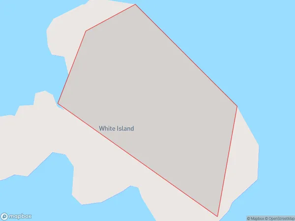
0 people live in White Island, Bay of Plenty, NZWhite Island Suburb Area Map (Polygon)
White Island Introduction
White Island is a volcanic island in the Bay of Plenty, New Zealand. It is the most active volcano in New Zealand and is known for its hot springs, mud pools, and volcanic eruptions. The island is a popular tourist destination and can be reached by ferry from Whakatane.Region
Suburb Name
White IslandWhite Island Area Map (Street)

Local Authority
Southland DistrictFull Address
White Island, Southland District, New ZealandAddress Type
IslandWhite Island Suburb Map (Satellite)

Country
Main Region in AU
Bay of PlentyWhite Island Region Map

Coordinates
-37.5200619,177.181408640514 (latitude/longitude)Distances
The distance from White Island, , Southland District to NZ Top 10 Cities