White Horse Rock Area, White Horse Rock Postcode & Map in White Horse Rock
White Horse Rock Area, White Horse Rock Postcode & Map in White Horse Rock, Marlborough District, New Zealand
White Horse Rock, Marlborough District, New Zealand
- 0
White Horse Rock Population (estimated)
0 people live in White Horse Rock, Marlborough, NZ0White Horse Rock Introduction
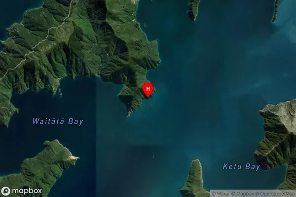
White Horse Rock is a conspicuous landmark located in the Marlborough Sounds of New Zealand. It is a popular tourist destination and is known for its stunning natural beauty, including its white cliffs and clear waters. The rock is also a popular spot for hiking, camping, and fishing.Region
0Suburb Name
White Horse RockOther Name(s)
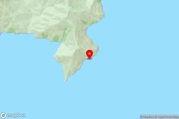
Waitata Reach (Maori Name: Waitātā Reach)White Horse Rock Area Map (Street)
Local Authority
Marlborough DistrictFull Address
White Horse Rock, Marlborough District, New ZealandAddress Type
Island in Major Locality Marlborough SoundsWhite Horse Rock Suburb Map (Satellite)
Country
Main Region in AU
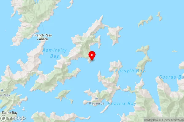
MarlboroughWhite Horse Rock Region Map
Coordinates
-40.96753735,173.953896001829 (latitude/longitude)Distances
The distance from White Horse Rock, Marlborough Sounds, Marlborough District to NZ Top 10 Cities