Whatitirinui Island Area, Whatitirinui Island Postcode & Map in Whatitirinui Island
Whatitirinui Island Area, Whatitirinui Island Postcode & Map in Whatitirinui Island, Waikato District, New Zealand
Whatitirinui Island, Waikato District, New Zealand
- 0
Whatitirinui Island Population (estimated)
0 people live in Whatitirinui Island, Waikato, NZ0Whatitirinui Island Introduction
Waikato's 'Whatitirinui Island' is a 15-hectare predator-free island sanctuary. It is home to many rare and endangered species, including the North Island brown kiwi, New Zealand sea lion, and tuatara. The island is also a significant archaeological site, with evidence of human settlement dating back thousands of years. Visitors can walk around the island, visit the bird sanctuary, and learn about the island's history and conservation efforts.Region
Suburb Name
Whatitirinui IslandOther Name(s)
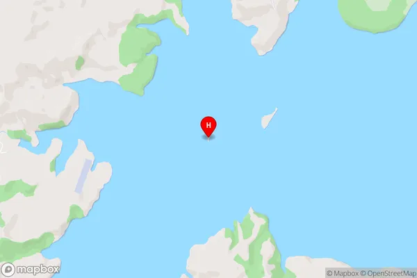
Whaingaroa HarbourWhatitirinui Island Area Map (Street)
Local Authority
Waikato DistrictFull Address
Whatitirinui Island, Waikato District, New ZealandAddress Type
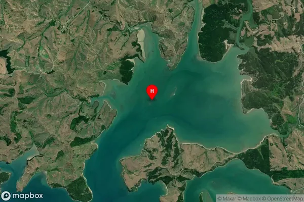
IslandWhatitirinui Island Suburb Map (Satellite)
Country
Main Region in AU
WaikatoWhatitirinui Island Region Map

Coordinates
-37.76392595,174.922010745774 (latitude/longitude)Distances
The distance from Whatitirinui Island, , Waikato District to NZ Top 10 Cities