Whangara Island Area, Whangara Island Postcode & Map in Whangara Island
Whangara Island Area, Whangara Island Postcode & Map in Whangara Island, Area outside Territorial Authority, New Zealand
Whangara Island, Area outside Territorial Authority, New Zealand
Whangara Island Area (estimated)
0.1 square kilometersWhangara Island Population (estimated)
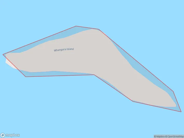
0 people live in Whangara Island, Aotea Great Barrier, NZWhangara Island Suburb Area Map (Polygon)
Whangara Island Introduction
Whangara Island is a small, uninhabited island located in the Hauraki Gulf of Auckland, New Zealand. It is known for its stunning natural beauty, including rugged cliffs, sandy beaches, and lush forests. The island is a popular destination for hiking, camping, and wildlife watching, with a variety of bird species and marine life. It is also home to a historic lighthouse and a small community of native birds.Region
Major City
Suburb Name
Whangara IslandWhangara Island Area Map (Street)

Local Authority
Area outside Territorial AuthorityFull Address
Whangara Island, Area outside Territorial Authority, New ZealandAddress Type
IslandWhangara Island Suburb Map (Satellite)

Country
Main Region in AU
AucklandWhangara Island Region Map

Coordinates
-36.25526515,175.371365719228 (latitude/longitude)Distances
The distance from Whangara Island, , Area outside Territorial Authority to NZ Top 10 Cities