Whanganui Island Area, Whanganui Island Postcode(3500) & Map in Whanganui Island
Whanganui Island Area, Whanganui Island Postcode(3500) & Map in Whanganui Island, Thames-Coromandel District, New Zealand
Whanganui Island, Thames-Coromandel District, New Zealand
Whanganui Island Postcodes
Whanganui Island Area (estimated)
3.5 square kilometersWhanganui Island Population (estimated)
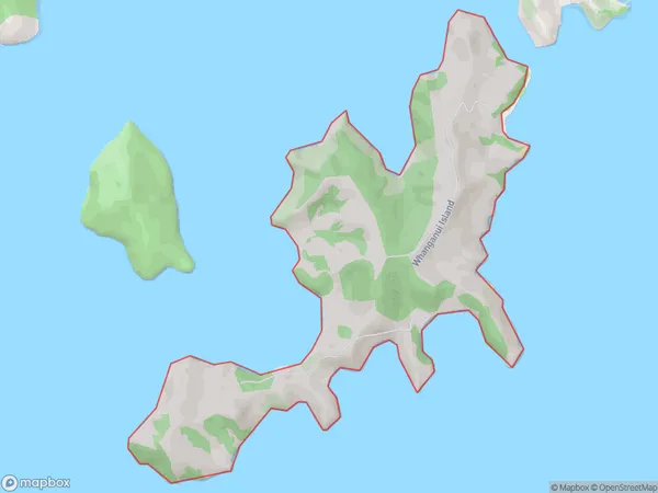
0 people live in Whanganui Island, Waikato, NZWhanganui Island Suburb Area Map (Polygon)
Whanganui Island Introduction
Whanganui Island is the largest river island in the world and the fifth-largest island in New Zealand. It is located in the Waikato region and is known for its rich cultural heritage, stunning natural landscapes, and diverse wildlife. The island is home to the iconic Whanganui River, which flows through it and is a popular destination for water-based activities such as fishing, kayaking, and rafting.Region
Suburb Name
Whanganui IslandOther Name(s)
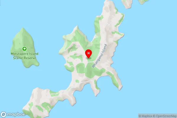
Hauraki GulfWhanganui Island Area Map (Street)
Local Authority
Thames-Coromandel DistrictFull Address
Whanganui Island, Thames-Coromandel District, New ZealandAddress Type
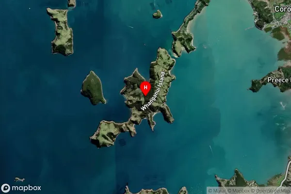
IslandWhanganui Island Suburb Map (Satellite)
Country
Main Region in AU
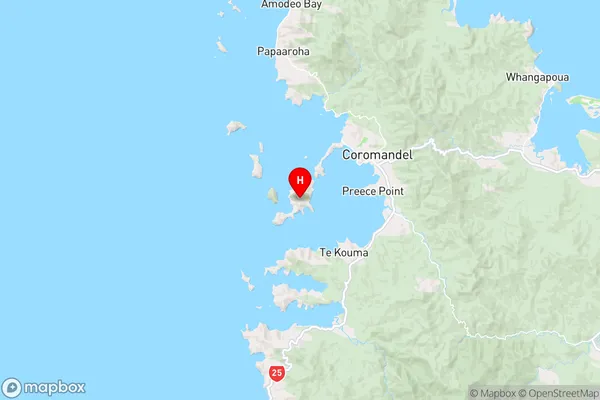
WaikatoWhanganui Island Region Map
Coordinates
-36.7821301,175.447476767738 (latitude/longitude)Distances
The distance from Whanganui Island, , Thames-Coromandel District to NZ Top 10 Cities