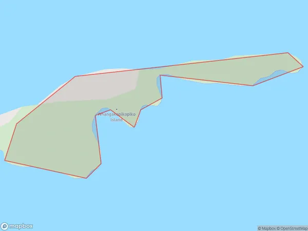
Whangakopikopiko Island Area, Whangakopikopiko Island Postcode(3122) & Map in Whangakopikopiko Island
Whangakopikopiko Island Area, Whangakopikopiko Island Postcode(3122) & Map in Whangakopikopiko Island, Opotiki District, New Zealand
Whangakopikopiko Island, Opotiki District, New Zealand
Whangakopikopiko Island Postcodes
Whangakopikopiko Island Area (estimated)
0.1 square kilometersWhangakopikopiko Island Population (estimated)
0 people live in Whangakopikopiko Island, Bay of Plenty, NZWhangakopikopiko Island Suburb Area Map (Polygon)
Whangakopikopiko Island Introduction
Whangakopikopiko Island is a small, uninhabited island in the Bay of Plenty, New Zealand. It is known for its unique geological features, including a large cave system and a network of tunnels formed by volcanic activity. The island is a popular destination for cave diving and is considered a sacred site by local Maori.Region
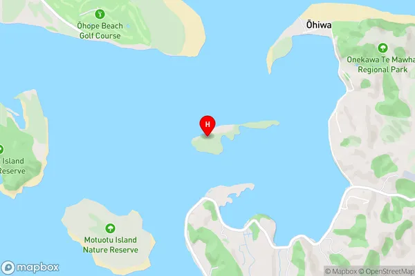
Suburb Name
Whangakopikopiko IslandOther Name(s)
Tern IslandWhangakopikopiko Island Area Map (Street)
Local Authority
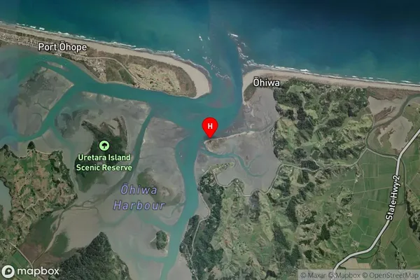
Opotiki District (Maori Name: Ōpōtiki District)Full Address
Whangakopikopiko Island, Opotiki District, New ZealandAddress Type
IslandWhangakopikopiko Island Suburb Map (Satellite)
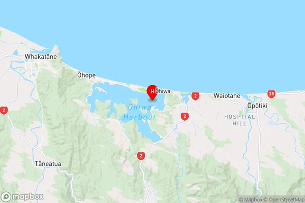
Country
Main Region in AU
Bay of PlentyWhangakopikopiko Island Region Map
Coordinates
-37.9998412,177.145551084261 (latitude/longitude)Distances
The distance from Whangakopikopiko Island, , Opotiki District to NZ Top 10 Cities