Wekarua Island Area, Wekarua Island Postcode(3500) & Map in Wekarua Island
Wekarua Island Area, Wekarua Island Postcode(3500) & Map in Wekarua Island, Thames-Coromandel District, New Zealand
Wekarua Island, Thames-Coromandel District, New Zealand
Wekarua Island Postcodes
Wekarua Island Area (estimated)
0.1 square kilometersWekarua Island Population (estimated)
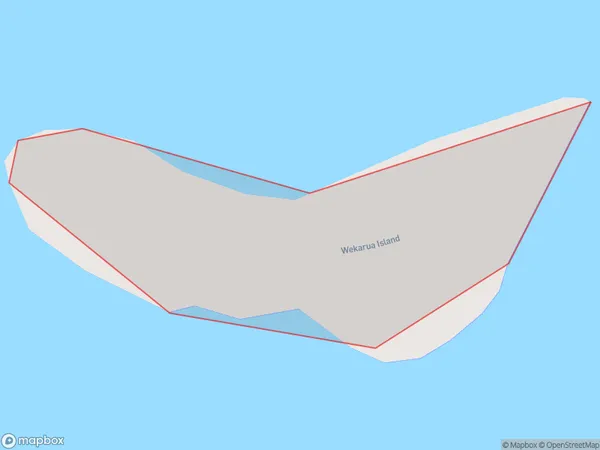
0 people live in Wekarua Island, Waikato, NZWekarua Island Suburb Area Map (Polygon)
Wekarua Island Introduction
Waikato, New Zealand's Wekarua Island is a 12-hectare predator-free island sanctuary. It is home to a wide variety of native birds and plants. The island is only accessible by boat, and visitors can stay in a historic cottage or camp on the beach. Wekarua Island is a great place to experience nature and learn about the conservation efforts being made to protect native species.Region
Suburb Name
Wekarua IslandOther Name(s)
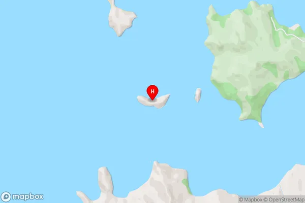
Hauraki GulfWekarua Island Area Map (Street)
Local Authority
Thames-Coromandel DistrictFull Address
Wekarua Island, Thames-Coromandel District, New ZealandAddress Type
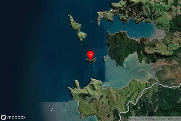
IslandWekarua Island Suburb Map (Satellite)
Country
Main Region in AU
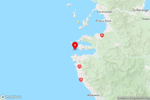
WaikatoWekarua Island Region Map
Coordinates
-36.8411805,175.419273719876 (latitude/longitude)Distances
The distance from Wekarua Island, , Thames-Coromandel District to NZ Top 10 Cities