Wareware Island Area, Wareware Island Postcode & Map in Wareware Island
Wareware Island Area, Wareware Island Postcode & Map in Wareware Island, Whangarei District, New Zealand
Wareware Island, Whangarei District, New Zealand
Wareware Island Area (estimated)
0.0 square kilometersWareware Island Population (estimated)
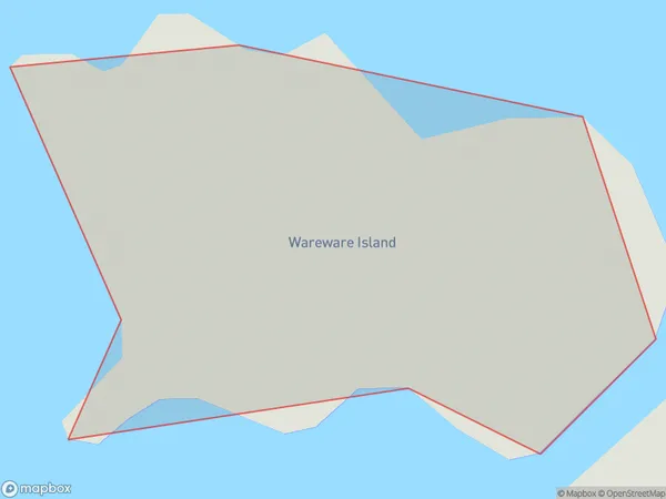
0 people live in Wareware Island, Northland, NZWareware Island Suburb Area Map (Polygon)
Wareware Island Introduction
Wareware Island is a small, uninhabited island in the Bay of Islands, Northland, New Zealand. It is known for its unique geological features, including a series of arches and stacks formed by volcanic activity. The island is a popular destination for tourists and is part of the Bay of Islands Marine Park.Region
Suburb Name
Wareware IslandOther Name(s)
Hen And Chicken IslandsWareware Island Area Map (Street)

Local Authority
Whangarei DistrictFull Address
Wareware Island, Whangarei District, New ZealandAddress Type
IslandWareware Island Suburb Map (Satellite)

Country
Main Region in AU
NorthlandWareware Island Region Map

Coordinates
-35.8824942,174.69550901266 (latitude/longitude)Distances
The distance from Wareware Island, , Whangarei District to NZ Top 10 Cities