Wakaterepapanui Island Area, Wakaterepapanui Island Postcode & Map in Wakaterepapanui Island
Wakaterepapanui Island Area, Wakaterepapanui Island Postcode & Map in Wakaterepapanui Island, Marlborough District, New Zealand
Wakaterepapanui Island, Marlborough District, New Zealand
Wakaterepapanui Island Area (estimated)
0.9 square kilometersWakaterepapanui Island Population (estimated)
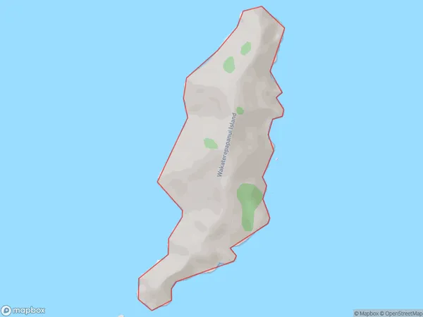
0 people live in Wakaterepapanui Island, Marlborough, NZWakaterepapanui Island Suburb Area Map (Polygon)
Wakaterepapanui Island Introduction
Wakaterepapanui Island is a 26-hectare island in the Marlborough Sounds, New Zealand. It is home to a variety of wildlife, including native birds, seals, and penguins. The island has a rich history and was once used as a penal colony. Visitors can explore the island by walking or hiking, and there are also boat tours available. The island is a popular destination for tourists and is known for its stunning natural beauty and peaceful atmosphere.Region
0Suburb Name
Wakaterepapanui IslandOther Name(s)
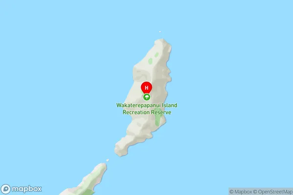
Rangitoto IslandsWakaterepapanui Island Area Map (Street)
Local Authority
Marlborough DistrictFull Address
Wakaterepapanui Island, Marlborough District, New ZealandAddress Type
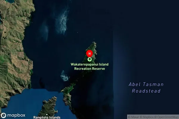
Island in Major Locality Marlborough SoundsWakaterepapanui Island Suburb Map (Satellite)
Country
Main Region in AU
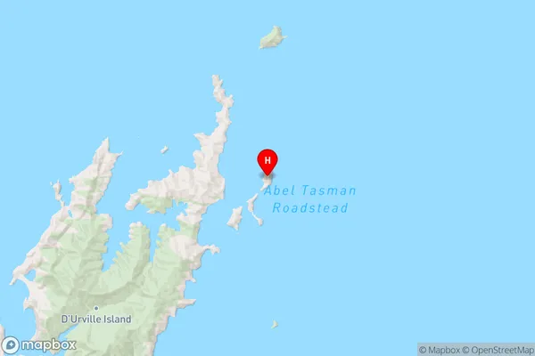
MarlboroughWakaterepapanui Island Region Map
Coordinates
-40.7525834,173.993311017312 (latitude/longitude)Distances
The distance from Wakaterepapanui Island, Marlborough Sounds, Marlborough District to NZ Top 10 Cities