Wairaki Island Area, Wairaki Island Postcode & Map in Wairaki Island
Wairaki Island Area, Wairaki Island Postcode & Map in Wairaki Island, Southland District, New Zealand
Wairaki Island, Southland District, New Zealand
Wairaki Island Area (estimated)
0.0 square kilometersWairaki Island Population (estimated)
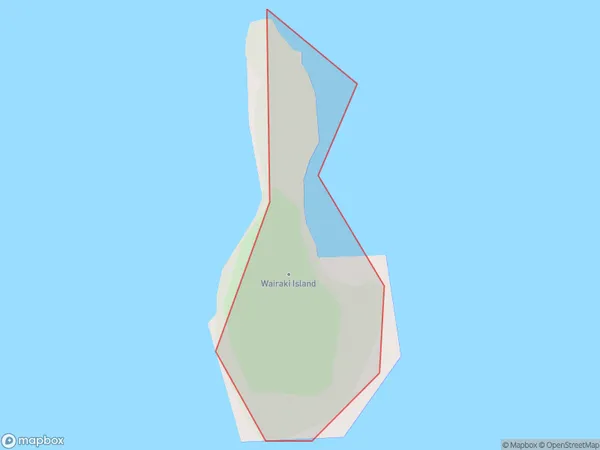
0 people live in Wairaki Island, Southland, NZWairaki Island Suburb Area Map (Polygon)
Wairaki Island Introduction
Wairaki Island is located in Fiordland National Park in Southland, New Zealand. It is known for its stunning natural beauty, including rugged mountain landscapes, crystal-clear lakes, and dense rainforests. The island is home to a variety of wildlife, including kea, tui, and kiwi birds. Visitors can explore the island on foot, by boat, or by helicopter. Wairaki Island is also a popular filming location, with several movies and TV shows having been shot there.Region
Suburb Name
Wairaki IslandWairaki Island Area Map (Street)

Local Authority
Southland DistrictFull Address
Wairaki Island, Southland District, New ZealandAddress Type
IslandWairaki Island Suburb Map (Satellite)

Country
Main Region in AU
SouthlandWairaki Island Region Map

Coordinates
-45.5920769,166.636557753393 (latitude/longitude)Distances
The distance from Wairaki Island, , Southland District to NZ Top 10 Cities