Waipapa Island Area, Waipapa Island Postcode(3500) & Map in Waipapa Island
Waipapa Island Area, Waipapa Island Postcode(3500) & Map in Waipapa Island, Thames-Coromandel District, New Zealand
Waipapa Island, Thames-Coromandel District, New Zealand
Waipapa Island Postcodes
Waipapa Island Area (estimated)
0.1 square kilometersWaipapa Island Population (estimated)
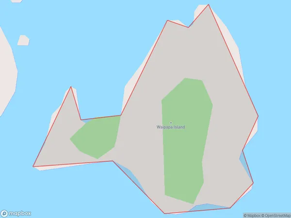
0 people live in Waipapa Island, Waikato, NZWaipapa Island Suburb Area Map (Polygon)
Region
Suburb Name
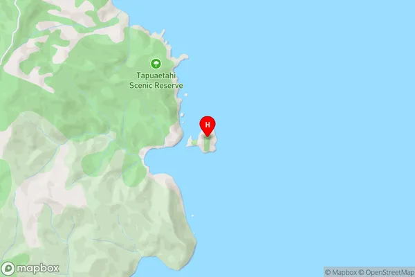
Waipapa IslandWaipapa Island Area Map (Street)
Local Authority
Thames-Coromandel DistrictFull Address
Waipapa Island, Thames-Coromandel District, New ZealandAddress Type
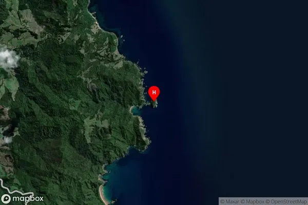
IslandWaipapa Island Suburb Map (Satellite)
Country
Main Region in AU
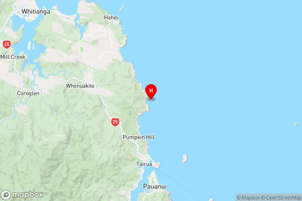
WaikatoWaipapa Island Region Map
Coordinates
-36.9305352,175.859525659064 (latitude/longitude)Distances
The distance from Waipapa Island, , Thames-Coromandel District to NZ Top 10 Cities